Marine Air On The Way Out...Near Record Warmth Likely.
A deck of low- mid level clouds is slowing down the hopes for good weather on St Patrick's day. Light onshore winds from the NE/SE will keep it quite chilly at the coast near 50 or slightly above. The marine air from the light east wind will help to trap in these low clouds for most of day. High pressure will be pushing into New England this afternoon. I do expect these clouds to eventually break and give way to some increasing sun...but will it be too little to late? Quite possibly. If we get into some PM sun, high temps will be able to climb above 60 farther inland in the N & W. Most of us will spend today in the 50's nearing 60 at the most.
High pressure will be cresting overhead tonight, after some clearing early, low clouds and fog will begin to back in off the water again with light SE/SW wind overnight with patchy dense fog. Lows will hold near 40. High pressure will pull off the coast for Sunday and begin to finally wrap in a warmer and drier SW winds after 4 consecutive days with the clouds and cool onshore wind since last Wednesday. This will make a big difference and we will quickly surge into the warmer spring airmass again. Low clouds will be with us through the mid morning hours Sunday before eroding to mostly sunny skies. Temps will surge into the Lwr 70's inland and be a bit cooler at the coast in the 60's. The coolest spots will be the south coast and the Cape and the Islands in the mid-upper 50's
Monday will be a very warm day with SW winds persisting inland. High to mid level clouds will be increasing. High will climb into the lwr-mid 70's away from the coast. A backdoor front will be sliding down from Maine in the afternoon and reach eastern MA to cool it down from the 60's to the 50's with cooler Easterly winds and skies becoming mostly cloudy. With the cooler air clashing with the warm air inland, there is the potential for this back door front to trigger a late shower inland.
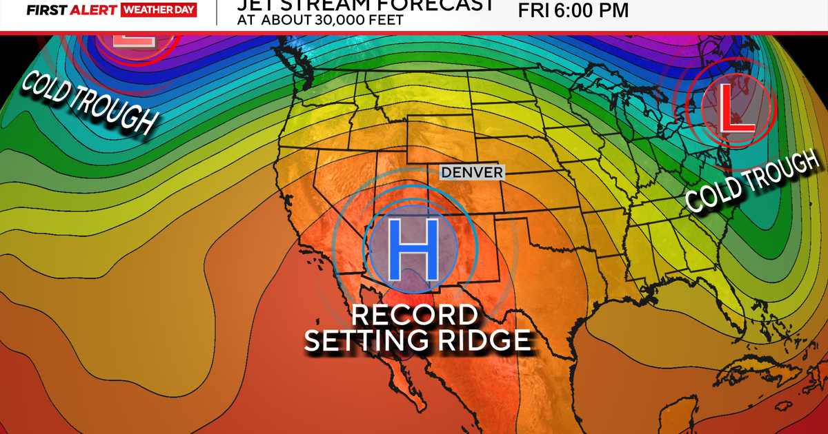
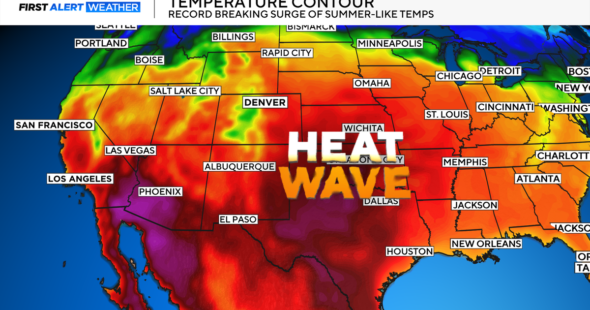
A huge upper level ridge will build in the eastern half of the country for the rest of the week. This past week, 1,500 records across the nation were broken for warmth...More will be broken this week...but this time it will be able to shift into New England. Tuesday will have some lingering clouds to scour out...partly sunny in the mid 70's, cooler SE MA with SW wind off water. Near Record warmth will likely surge into the region Wednesday and Thursday with highs near 80! Say what?! Records are in the Lwr 80's so we could fall short....either way, It will feel like summer! The coast will remain a variable spot with the potential for sea breezes to develop with the heating of the day.
A big storm is hitting California today with a mix of flooding rain and snow for the mountains. This will become a slow meandering low will become cut off from the jetstream and eventually arrive here sometime by next weekend...leaning towards Sunday right now. This will be mainly rain when it arrives...but it will be dragging cold air down on the back side...Some models are showing some snow for the NW hills as it pulls away. Something to watch. This will be a slow moving storm which could strengthen into a Nor'easter-type storm once off the coast. That is too far away to have any real judge on...but it will have to be watched. Until then...this week is going to rock! Have a great and safe St. Patrick's day weekend. Sunday will be much better than this Fickle Saturday. Curse the East wind this time of year!
