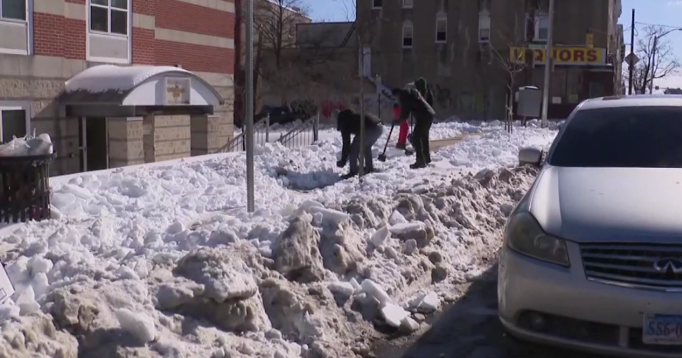
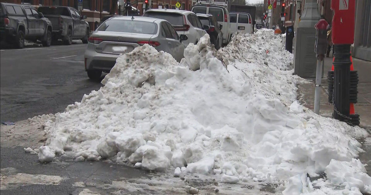
March Madness...Another Winter Storm.
Really? Seriously? Are you Kidding? Those are words most people are feeling with this coming storm. The desire to move on from winter continues to grow with every day, yet it feels like we are running on a treadmill and getting nowhere fast. If anything, it seems like we are going backwards! An airmass which feels more like mid-January instead of mid-March continues to sit over us. Cold air continues to pour in from Canada with a NW flow. An now, moisture will be directed into this cold dome of air currently in place across NE.
Once again we are tracking another winter storm which will be arriving as early as Monday night. As one low will track through the Great lakes, another low will form along an occluded front across the mid-Atlantic states and be moving off the coast of NJ early Tuesday morning. Flakes will start to fly later Monday night with snow filling in across the region after midnight. By Tuesday morning's commute. Snow will be falling steadily in most areas, excluding the south coast which will be raining. Snow falling from Midnight to 6 AM will have accumulated about 2-3" by dawn Tuesday, so there is a very real possibility of widespread delays and cancellations Tuesday morning. It will all depend upon how fast and hard this snow falls early Tuesday. A colder, more southern track could bring heavier totals to the North shore, Boston and south shore.
We will have to watch where this secondary low eventually tracks. Most of our models are taking the low across SE MA which will wrap in east winds off the water, 850 0C line pushes north close to the MA border which would help to push the snow rain line up to the Pike and to 495 by the mid-late morning. After and intense burst of predawn snow, snow changing to sleet then rain will limit accums at the coast and across SE MA. Either way, where the temperature is cold enough to support snow, mainly outside 495, amounts will continue to pile up. Snow ratios will be about 8:1 will also help to suppress the big snow totals across eastern MA. While Boston to providence will likely see snowfall of 3-4" before any change over, Around the 495 belt there is the potential for 4-8" of snow. The northern Worcester hills could see even more closer to 8-12" right into southern New Hampshire. In the NW hills and mtns, the thermal profile will be better for more snow growth which should help for ptype to remain as snow and begin to pile up with some areas in the NW mountains picking up 12-18" of snow!
The peak of the snow/mix will happen from 3 AM-3 PM with this storm pulling away and hugging the coast right up the coast of Maine towards Bar Harbor Tuesday night as a strengthening low. Winds could get gusty at the coast especially the Cape & islands where gust could get to 40-50 mph. As this storm pulls away, a cool upper low will drift over us ensuring cooler than normal temps, periods of clouds and mainly dry conditions heading into next weekend. Luckily the tides are runny astronomically low, so no coastal flooding or signficant beach erosion is expected this time around. Still with seas building to 10-15 feet off the coast, there will be a little more erosion to the vulnerable beaches from this winter.
Believe it or not, but after this...we STILL may not be out of the woods as models are showing another coasther storm somewhere around the 25th-27th of March! UNCLE!


