Major Storm to Impact Northeast...Again!
Hard to believe we are talking about another major storm...but that is what we are facing. Luckily, this one will not have the power of Sandy..but it will still be an impressive storm which will come with its own share of challenges.
Before we get ahead of ourselves, we do have a string of nice weather to enjoy with sun filled skies. Highs today will be near 50 under slightly breezy and brisk conditions. The coldest air of the season is sliding into New England late tonight behind a weak cold front and light NW winds. Clear skies with diminishing wind will allow most areas outside of the city and away from the coast to drop below freezing overnight. A frosty start to Monday will give way to another mostly sunny day, but temps will be cooler with highs in the mid 40's. High pressure will crest over New England Monday night into Tuesday with very calm and cold conditions. Boston may see its first frost Tuesday morning, suburbs will start the day in the mid 20's. Awfully chilly at the bus stop! Election day will be 100% sun but a definite cold day running about 10 degrees below normal with highs only 40-45! May the best candidate win. It has been a thrill to watch the process! Glad to see it all coming to an end for some resolution finally!
OK, meanwhile during this sunny cold stretch developing trough will be digging in again on the east coast with a pattern very similar looking to Sandy...but it will be quite different. First and most importantly, there will be no hurricane involved so this upcoming storm will have less energy to work with right off the bat. That said, this trough will dig far enough south that tropical moisture will become involved and will be directed up the coast as an intensifying area of low pressure off the Mid-Atlantic coast. Sandy had a lowest pressure of 940 mb. While this storm will not be as strong, pressures will fall to about 975 mb in the peak of the storm which should give it a bit of a warm core eye feature, and the potential for a coastal surge where winds are onshore. The concern is for the New Jersey coast where coastlines are vulnerable and dunes have been wiped out. Any coastal surge will produce more flooding in areas which have already seen enough. The combination of the cold then more water and wind will not be welcome for those with no power or heat.
With high pressure to our north, and a deepening low south of us, winds will be picking up from the NE. Once again, we are looking at a very impressive and expanding wind field from this storm. There are some timing issues on just exactly the rain will arrive. I am expecting the showers to begin pushing into SNE by later Wednesday afternoon. Winds will quickly begin to pick up where many areas will be seeing wind gusts 40-50 mph heading into Wednesday night. Seas will be building to 12-18 feet off the coast by then, even with the low off the coast of New Jersey. So we will begin a series of tidal cycles which could provide minor/moderate coastal flooding at high tides with the steady strong NE winds which will be lashing the coast. Luckily the tides are running on the lower side this time around which will help to mitigate any big problems. Strongest winds will be at the coast where winds will likely gust over 60 mph for a time..especially on the Cape & Islands or Southeast MA. Winds this strong will create scattered power outages and tree limb damage.
Thursday will be a rainy windy day with the low tracking toward Cape Cod and weakening a bit. A widespread 1-2" rainfall is likely with pockets up to 3" possible in this moisture feed up the coast. The low will begin to slow or even stall near Cape Cod which will likely keep lingering effects going from this storm into Friday, especially at the coast. Cool damp NE winds will ensure temps stay in the 40's with cool raw wet and windy conditions.
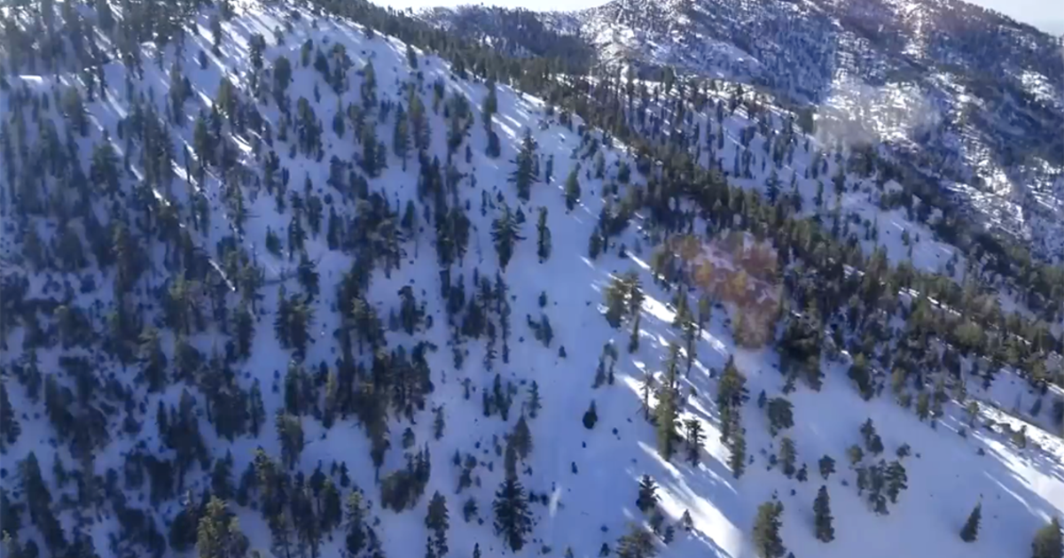
Across the north, closer to the colder air source of Canadian High pressure...as moisture arrive Wednesday afternoon, any precipitation will start as snow in the NW hills and elevations. A slushy accumulation is possible with a gradual transition to rain for most as marine airmass will penetrate further inland. Cold will hold on longer in the Green Mountains of Vermont who stand the best chance of accumulating snow fall...especially along the western slopes and up into the Burlington area. As the storm pulls away Friday we could see showers changing to snow showers..
Upper level ridging will follow in behind the storm proving sunshine and warming temperatures into next weekend. Once again the weather department will be busy this week. Looks like I will be out in it again. See you at the coast!
