Looking At Another Warm Up...Where Is the Cold?
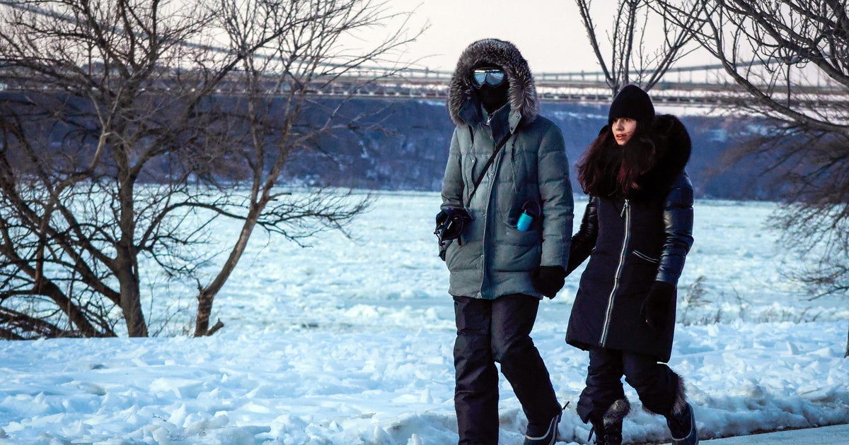
Standard air pressure at sea level is 1013 mb. Today the barometer is reading 1038 mb and on the rise! High pressure over upstate NY and VT this morning providing an early morning shot of high barometer cold. A little cyclonic spin off the coast, with cold air moving over the 50 degree water is helping to form ocean effect clouds for the Cape and Nantucket. The rest of the region will see bright crisp sunshine in a very stable early December airmass. Highs today will range from 43-48. A few of these ocean effect clouds may try to back in off the water this afternoon as winds shift to the east. Some coastlines may see some increasing afternoon clouds. Something to look for on an otherwise tranquil Saturday.
High pressure crests over New England tonight and pushes off the Coast Sunday. This will begin to wrap in SSW winds and allow the lows tonight to level off in the 30's with clear to partly cloudy skies. SW winds with sunshine and increasing high clouds for. Temps will be about 10 degrees warmer in the Lwr -mid 50's. A great way to finish out the weekend.
Unseasonably mild air will be directed into New England with SW winds as the high continues to pull off the coast with highs climbing back to near 60 degrees on Monday. The upper level ridge will hold strong along the east coast to keep us dry, but overrunning increasing clouds ahead of our approaching rain will be drifting through creating considerable clouds with some partial sun from time to time.
A cold front will be on the move in the Tuesday-Wednesday time period. Today it looks like to waves of rain showers to watch. Tuesday will still be mild with SW winds ahead of the front with temps climbing to 60-65. Showers will likely develop along the front in the afternoon and continue into the evening. It does not look like a washout...but unsettled nonetheless. Next wave of rain will be pushing up along this boundary into the Northeast Wednesday, likely bring a more substantial rainfall along with it. As the low pulls away Wednesday night and early Thursday, temps will be cooling from NW to SE and a brief change to snow before the precip tapers off is possible.
Colder air will follow in with building high pressure and increasing sunshine with seasonal temps in the mid 40's to end the week. Temps will remain on the colder side into next weekend with a more significant batch of Arctic air to rotate through Saturday-Sunday with 850 mb temps down to -15 to -20. After this, I still do not see a prolonged period of cold. The cold is building in Canada. Each cold shot will become more pronounced as a more seasonally cold December pattern settles in. Still, the lack of blocking will prevent the cold from sticking...or the pattern buckling enough to get the storm machine in gear. Long range ensembles show the polar jet having more of an influence for the northern states, introducing colder into the pattern...but still a fairly flat flow...maybe a broad trough from the Great Lakes into the Northeast through the 18th.
December was supposed to be the month where winter got off to roaring start. Ain't going to happen. That means winter action will likely have a better chance into January & February...but even that may prove to be a mixed bag if a real blocking pattern never takes hold. It depends upon pressure rising and the North Atlantic and Canada...Snowfall expectations may need to be toned down a bit...as this pattern looks quite a bit different from the explosiveness of last year where anything which could bomb and snow did. This year...so far everything is tracking west...this could mean more mixed events for the I-95 corridor this year. The track will change over the course of the winter and winter will be here soon enough...just likely not as extreme as last year...thank goodness. That may disappoint the weather fanatic. Don't worry...you will get your fill before this is all through.