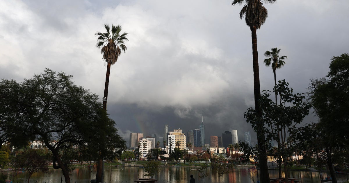
Little Relief From The Summer Heat
We have been spared so far from any severe weather thanks to a deck of mid level clouds which formed as the first wave of showers and storm moved through around midday. Thunderstorms are fueled by the sun's heating of the ground and the warmer air rising rapidly to very high levels of the atmosphere. When there is no sun present as a trigger, it is very difficult to generate any severe weather and so far today that has been the case. That being said we cannot completely let our guard down. There is still a cold front moving slowly southward through northern and central New England. The sun has come out in those areas and some thunderstorms have formed. Whether they survive the trip in to Southern New England or whether other cells form now remains the question for this evening. Best chance of any thunderstorm activity now will be from 6pm-12 am, and any storms that form could contain very heavy downpours, frequent lightning, damaging winds and some small hail. The atmosphere is very ripe in extreme Southern New England (parts of CT, RI and SE Mass and farther south towards the Mid Atlantic). So those would be the most likely areas for any severe weather later this evening.
After the storms exit this evening our attention will turn to the building heat across the Eastern half of the Country for the mid to late portion of this week. Temperatures on Tuesday and Wednesday will be quite warm, but bearable in the mid to upper 80s with moderate humidity levels. The heat could reach dangerous levels on Thursday and Friday, as temperatures will soar well into the 90s, and potentially close to 100 degrees on both days. The humidity will also be nasty…dewpoints are expected to be 70-75 at least, just about as high as it gets in New England. Combine the dewpoints in the 70s with heat in the upper 90s and the Heat Index (feels like temperature) will be well over 100.
It is possible we could hit 100 both Thursday and Friday and not even get a record! The record highs for those two days are 102 and 103 respectively. We have reached 100 just a little over 20 times in our recorded history. This works out to an average of about once every 5 years or so. The last time we hit 100 was just last year on July 6th ( one of 25 days above 90 last year). Either way...It is going to be nasty.
There are also some signs that the extreme heat could persist into this weekend…too early to tell whether a cold front will drop down from Canada early Saturday or not, potentially proving some relief. Saturday could still be Hot in the 90's in southern New England. The good news is the Humidity and heat will be easing through the weekend...It should be more comfortable by Sunday with lower humidity and temps in the 80's. Next weekend looks like another winner!
