Light Precipitation...Another Storm Friday
Clouds will control the sky today while we encounter a few rain/snow showers. The rain/snow showers will fall south of the Pike while light snow showers will spread across our northern tier. Around an inch can be expected areas north of the Pike while a dusting to an inch can be expected for areas located between 495 and the Pike. In other words, this is just a minor impulse of upper level energy passing from southwest to northeast.
Watch Melissa's forecast
Thursday will provide us a full day reprieve from any form of precipitation.
Late-Week Storm: A 'panhandle hook' will travel from our southwest late Thursday night. This will be a snow event for nearly everyone except for the Cape/Islands where models are hinting at enough warm air advection to spawn a rain/snow mix. If the low decides to take a more easterly or westerly track, that would affect the precipitation type and the amounts of snow. The EURO tracks it right near the benchmark which would provide a snowstorm. Examining the QPF, the NAM seems unreliable because it has been all over the board. The NAM showed close to 1.2" yesterday afternoon for Friday's storm while it took a major downward swing with the 00z run showing a QPF of .10-.20". On the other hand, the GFS is spitting out a more consistent look from run to run. The GFS is sticking with a general .50-.80" (4-8" snowfall). We will continue to monitor each new model to determine the exact track of the low pressure center and the amounts of snow expected to fall. Regardless, all models show a progressive storm that will last between 12-18 hours.
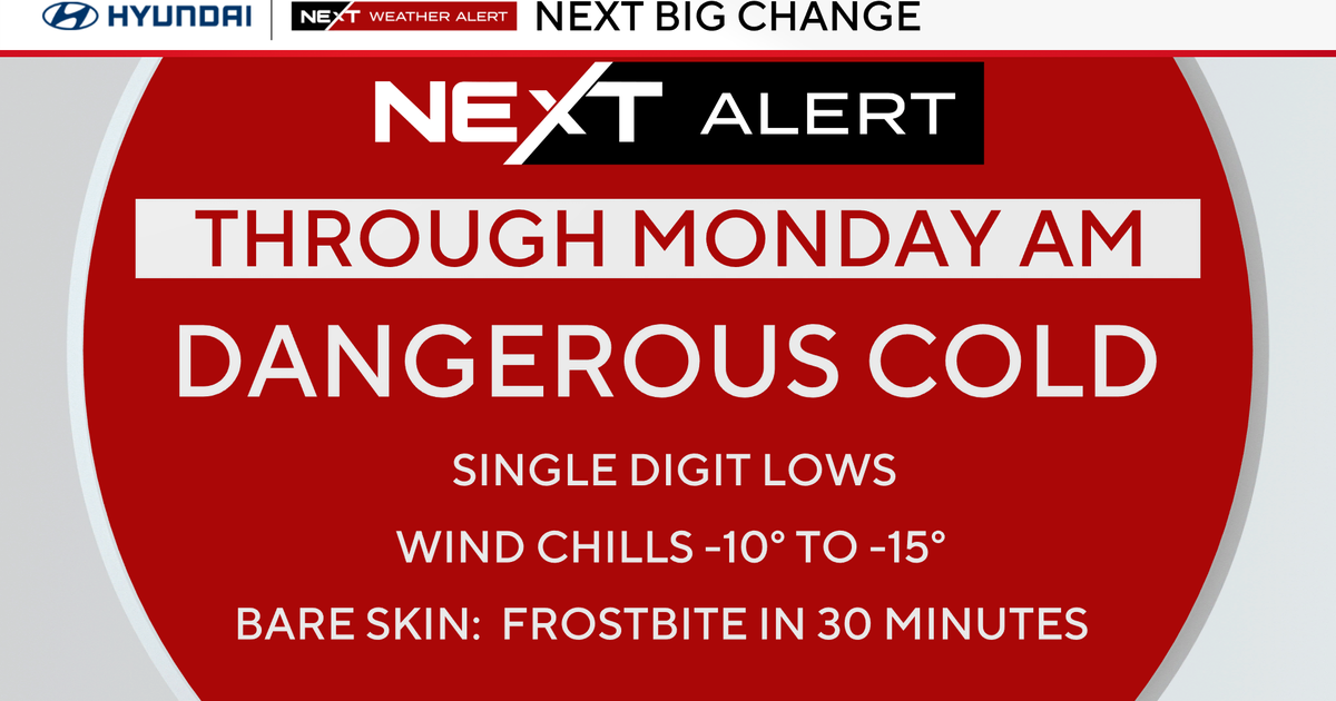
A very cold weekend is ahead.
Melissa :)


