Light Coating Before Christmas
The Strong Ocean Storm over 1,000 miles away is wrapping it's final piece of energy into New England today. An evening lull from snowfall along with well salted and sanded roads has made the morning commute go off without a hitch.
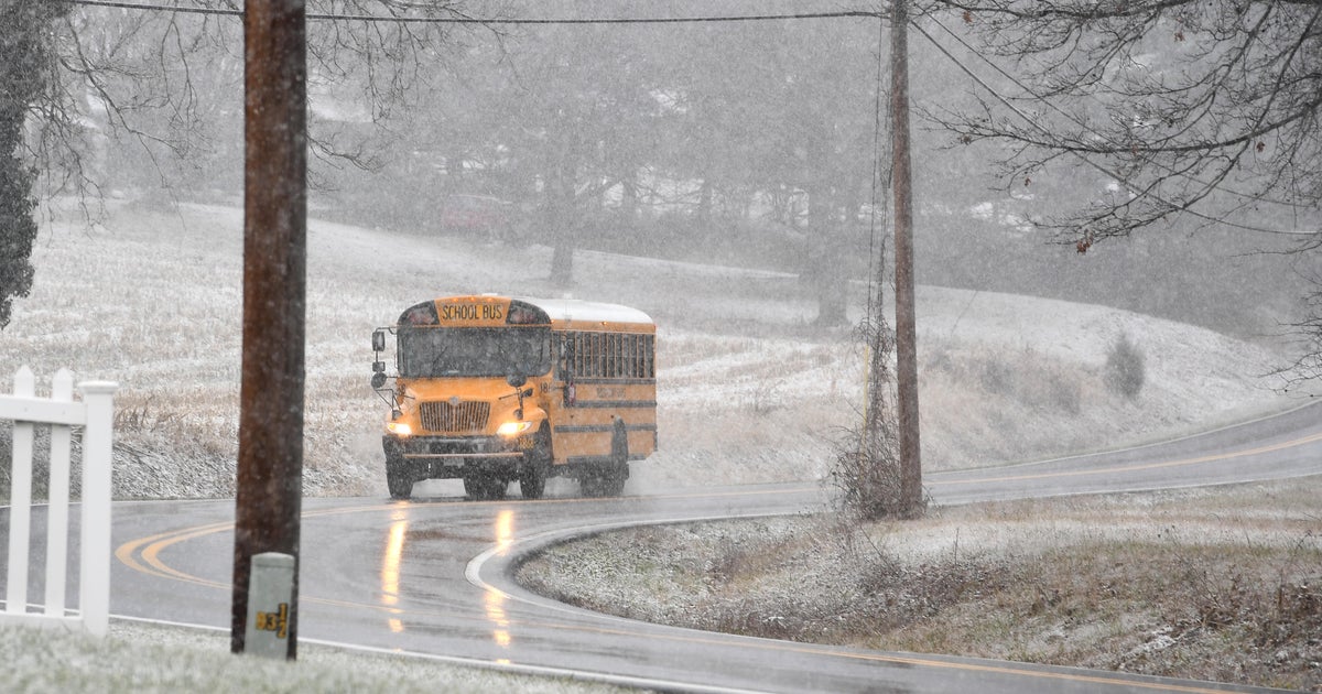
Snow had redeveloped this morning..coming in two batches. The final batch of light snow is pushing from Southern Maine into Eastern Mass for the late morning and midday. Light snow will be tapering off this afternoon...but it could take the Cape and islands most of the day for the snow to finally end. Temps will be warming into the upper 30's, so some of this light snow at the coast may start to mix with a light rain. It appears the jackpot of snow was in Norfolk county where Millis and Mansfield have seen 4.25" of snow so far and could pick up a little more before it's all finally over. Additional coatings to 1" are expected.
Coastal Flood Advisories are up for eastern Massachusetts beaches south of Boston thanks to High astronomical tides and seas up to 10-15 feet offshore. The midday high tide will see rough surf and big breakers on the sea walls. Flood prone shore roads may see debris and localized street flooding as the water rises.
Skies will be clearing this evening with cool drier air moving in with a NW wind. Lows will drop below freezing. There could be a few areas of black ice tonight. Sunshine and fair weather will greet the Christmas holiday with dry conditions for Friday and Saturday with temps cooling to near 32 for highs. The below normal trend continues for this December which is the first below normal month we have seen since December 2009...1 year ago!
The Storm
It's what everyone wants to talk about. The latest 06z GFS has a track very similar to the Euro. This storm is coming out of the Gulf of Mexico, up the east coast where it will begin to strengthen east of the Carolinas. Once north of Cape Hatteras, this storm is likely going to undergo "bombogenesis" and explode into a very strong storm just to the east of Nantucket. The GFS has tracked further west with it's recent run..The Euro has shown amazing consistency. This storm looks really nasty. If it were to occur the way it looks today it would be loaded with moisture...snow amounts of 1-2 feet with winds over 50 mph at the coast. It simply looks like a blizzard. I am not saying this will happen...YET...just what it LOOKS like.
But there is still plenty of uncertainty this far out. The Canadian, UKMET and JMA keep the storm mostly south and offshore. So it is not nailed down by any means...but the potential for a major blockbuster storm certainly exists. I wish I could give you more details...but you know the game. Too much could change between now and then for any definite answers.... Until then, stay safe and enjoy the Holidays with your loved ones.


