Let's Get It Started!
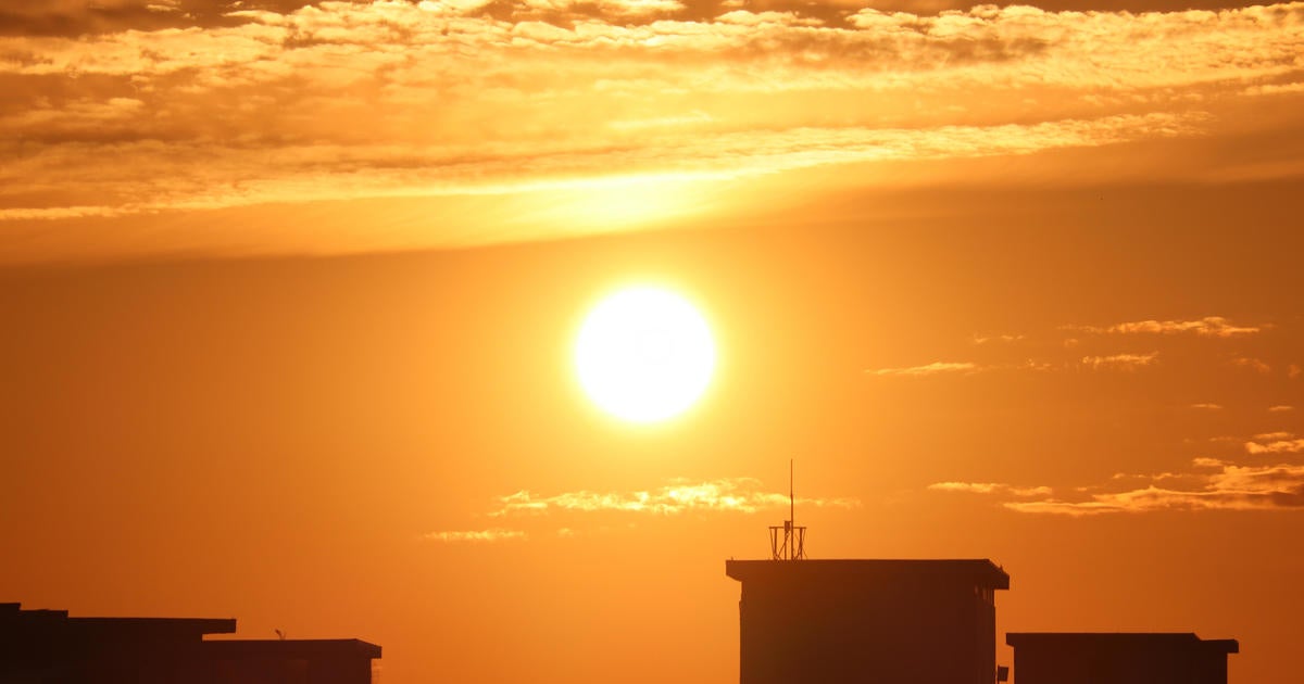
I am sure you are pretty aware by now it is going to be hot and humid for much of next week. Not much has changed at all. Temps are quickly warming up this Sunday thanks to a wind shift to the west. Instead of a cool onshore wind, it is a hot land breeze which will help to push many locations this afternoon to near 90. Winds are very light, so with the heating of the day, there is the potential for winds to turn onshore this afternoon for a slight cooling sea breeze for East MA beaches. What great beach day out there! Definitely bring the sun protection with you! The concern is for this afternoon where a sea breeze front may develop as the cooler onshore wind collides with the piping hot land breeze from the west. This converging air at the surface could make for some building cumulus which could make for widely scattered showers or thunderstorms this afternoon. While most of us will not see much if anything, SNH and Eastern MA have the best chance of a shower or storm this afternoon after 2 PM.
High pressure is sliding over and south of New England today. A huge upper level ridge takes hold for the rest of the week in the eastern half of the nation. Heat and humidity will build through the midweek. Sunshine with warming WNW winds will keep temps in the lwr-mid 90's through much of the week ahead. Sometimes we will see a cooling seabreeze, but relief will be hard to come by in the hot humid airmass which could end up being our last real intense stretch of prolonged heat this summer. Factor in the humidity and you have Heat Index level feeling near 100 every afternoon through Friday. It will be imperative to find ways to stay cool through this stretch. Those with out air conditioning will find this stretch a lot harder to take, especially the elderly who I always think about in times like these. The key is to stay cool during the hottest part of the day between 11 AM and 3 PM. Of course, lots of water goes without saying.
By the end of the week, there will be an increased risk of scattered showers and thunderstorms around Thursday, Friday and Saturday as a few fronts slide though. A weak broad trough will try to slide into the northeast which will come with a few shortwaves which could trigger the convection with the potential for some locally strong storms and heavy downpours. The real question when this heat wave will finally break? There are some questions on exactly when this will happen. The GFS model has the front pushing through Saturday...with slightly cooler drier air for the weekend. Meanwhile the Euro has the cold front slower with Saturday being another hot day in the 90's before the heat is finally broken Sunday. So we will have to see on that. The heat wave will break sometime the weekend, that I can promise you this far out.
After that, all signs are point to a major break from the heat for the rest of July...and maybe quite possibly into the month of August! So as bad as it appears and feels in the heat this week, take solace in knowing that this is as hot as it will likely get this summer! So there it is...the Heat is here to stay for now. No sense in complaining about it. It is going nowhere. Something like this tends to happen evry summer. Now is our time. Embrace it, do your best to stay cool and enjoy the positives of what summer has to offer while it lasts. Congrats to everyone on vacation near a cool spot...you have hit the jackpot!


