Let it Rain, Let it Rain, Let it Rain!
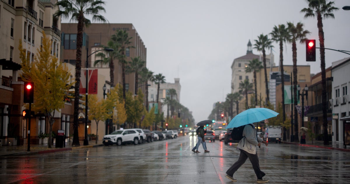
Oh the weather outside is frightful, but this winter was absolutely delightful..But the lawns and gardens are feeling the pain....Let it rain! Let it Rain! Let it Rain! After a week of just incredible summer-like weather, it is hard to complain about a little rain. In fact, many are celebrating the fact that we are seeing our first significant precipitation since January! The lawns are parched and this rain will go a long way to reducing all the brushfires, pollen and low river levels. Flood watches are up for tonight through tomorrow morning for a widespread 2-3" with locally heavier rain possible. The Cape & island will see less rain running about .5-1.5" total by Monday afternoon. Overruning winds from the Southeast will put the heaviest core of wind north of the stationary front which is currently stalled over the Cape Cod Canal. This will put the heaviest core of rain farther inland into the Worcester Hills and Southern portions of NH with slightly lighter amounts right at the coast. Boston should easily be able to pick up 1.5-2.5" of rainfall in the next 24 hours. We are running about 8" below normal from where we should be this time of year. This rain will not end the drought but it will go a long way towards easing it for now and putting us in a better position heading inot the summer.
With a front stalled over Cape Cod, winds are shifting to the cooler NE wind direction. Highs were reached after midnight in the mid 60's and will spend the rest of the day cooling inot the 40's with the cool onshore winds and damp conditions. Already light rain has developed in parts of Metro west in the morning hours with 100% relative humidity and just enough lift thanks to the proximity of the front. The main batch of rainfall will come in waves up the coast. The first batch moving off the coast of New Jersey will be pushing to the south coast by late morning and pushing north to the Pike by midday and early afternoon. Rain could be light at times...but you may find yourself in a steadier down pour as well. But there is a lot of rain to go and it extends all the way down into Florida. Whether the game will be played at Fenway tonight is a tough call. Rain will be falling in varying intensity..with the heaviest rain falling likely to the west...Still it is going to be wet and breezy at Fenway...the way things are going...they should just call it a night and take a nap!
There is a real tropical connection along with this low as a deep upper level trough is digging to the Gulf and steering this moisture right up the east coast. This Low will begin to rapidly deepen as it approaches the mid-Atlantic states and track up through the Hudson valley and through eastern New York tomorrow and then weaken just as quickly. The heavy rain along with low will push into the region tonight...especially later tonight where the core of strongest winds will be happening between 12 AM-8 AM at the coast with gusts over 40 mph for the Cape. It is a power house storm for this time of year. Something more typical for winter. The Heaviest band of rain will extend form Coastal ME to Worcester to CT where amount could close in to 3-4" in spots. Seas will build to 10-15 feet off the coast
Heavy downpours should be expected after midnight and early tomorrow morning. But as the low lifts pull inot upstate NY, the rain will be winding down in the morning, with lingering showers at the coast. The weather will be drier and milder for the afternoon. Clouds will begin to break with a dry slot following in with SW winds...any sun would spike temps right back inot the mid 60's.
Cooler air will follow in behind this departing low Tuesday with SW winds...dropping temps back into the 50's. Best chance of shower will remain rest. The more seasonal air will continue midweek nearing 60. A weak clipper low approaches Thursday with a chance of showers.. This will be the leading edge of another push of colder dry air moving in from Canada with increasing sunshine for the weekend with Lwr 50's to end the week. Temps should warm back up again for the beginning of May.
Final Note:
Happy Earth Day! Everday I am amazed at how lucky we are to live on this planet. A planet so beautiful and hospitable for life to evolve...which exists in a very violent and chaotic universe. Big shout out goes to Jupiter for protecting us from asteroids all these years! I really do not think most understand how lucky we are to be here! A lot of things needed to happen on this planet over it's 4.6 billion year life span to make it what it is today. But here we stand. One of the greatest challenges we face is our expanding overpopulation and limited resources of food and clean useable water. Doing everything we can to protect wildlife, the ocean, our watersheds will go a long way into making our species live longer. Still I can not help to think of the giant MESS we have made and will be left behind by us one day. The human race is one the least adaptable species on Earth. The ones who can adapt the quickest to rapid and dramatic changes in climate are the ones who to persevere, like reptiles and fish. I am afraid we as a species are short timers. The Earth is going to be here long after we are gone. We must not wear out our welcome. If we are good, Mother Earth just might keep us around a little while longer! What can you do today to make the world a better place?


