Less Humid Air on The Move...Cooler Midweek
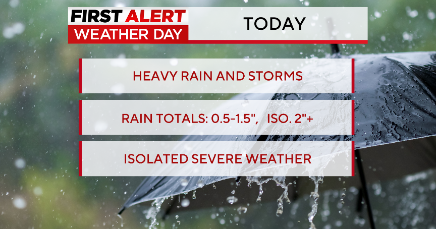
Well that was a bit disappointing. I love a good thunderstorm. These storms never stood a chance. What looked like a promising start to the afternoon for scattered storms turned into a dud. The concern before the day even started was the lack of upper level winds to provide shear, tilt and updrafts for the thunderstorms. This lack of upper level support led to their demise. With no wind to push these storms along, they moved slowly across the Pioneer Valley and could barely cross the Quabbin reservoir. The storms came with heavy rain up to 2-4" in spots with quarter to golf ball size hail....but the slow moving heavy rainstorms became victim to their own downdrafts which cut off the updrafts and the storms have nothing left to do but weaken.
A warm and muggy night, but a cold front will push off the coast and drier air will move in overnight with clearing skies and lows in the 60's. Tuesday will be a warm, but less humid day. There will be plenty of sun in the morning, but cooler air aloft supplied by an upper level low over us will keep the air unstable. Expecting building PM clouds with the potential for a spot shower or thunderstorm. Breezy WNW will warm the coastal plain with many areas climbing into the mid-upper 80's
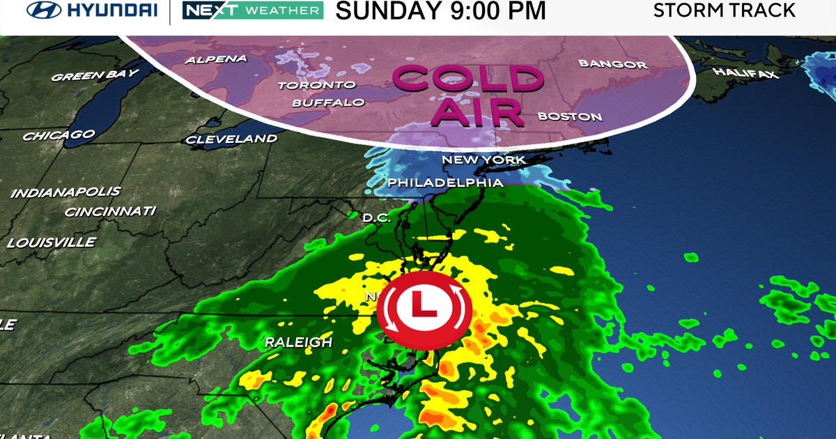
Another piece of energy will be sliding into the northeast from the Great Lakes. An area of low pressure will ride along warm front positioned south of New England. Most of the rain will likely stay south, but there is a chance for a few showers to clip the south coast where there will be more clouds. Along and north of the Pike should be brighter. As the upper low pulls away it will supply enough dry sinking air on the back side with NW winds. Temps on Wednesday will be cooler in the 70's and Lwr 80's. A few clouds may linger into Thursday, but an overall dry end to the week with some increasing sun, seasonal temps..80-85.
By the weekend, a wave of low pressure will be approaching on Saturday. Clouds will be increasing with the risk of afternoon showers which may linger into the evening. A cooler day because of this near 80. The GFS has a slower more pessimistic outlook for Sunday...but right now...I am going with the more progressive Euro model with Sunday improvement with increasing sunshine and the pick of the two weekend days
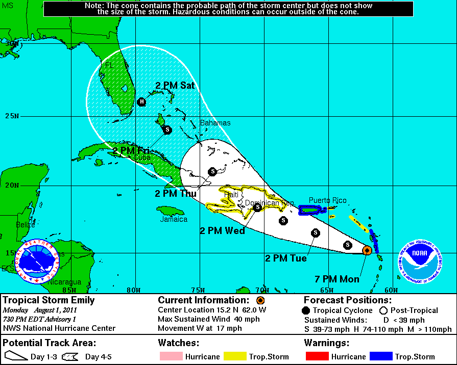
Tropical Storm Emily has finally formed over the Windward Islands..40 mph winds moving west at 17 mph. The storms is forecasted to track near Puerto Rico, over the Dominican, and begin to strengthen as it moves over the Bahamas. This will likely become a threat to the United States Coastline so it definitely needs to be watched closely.
