Late-Week 'February Thaw'
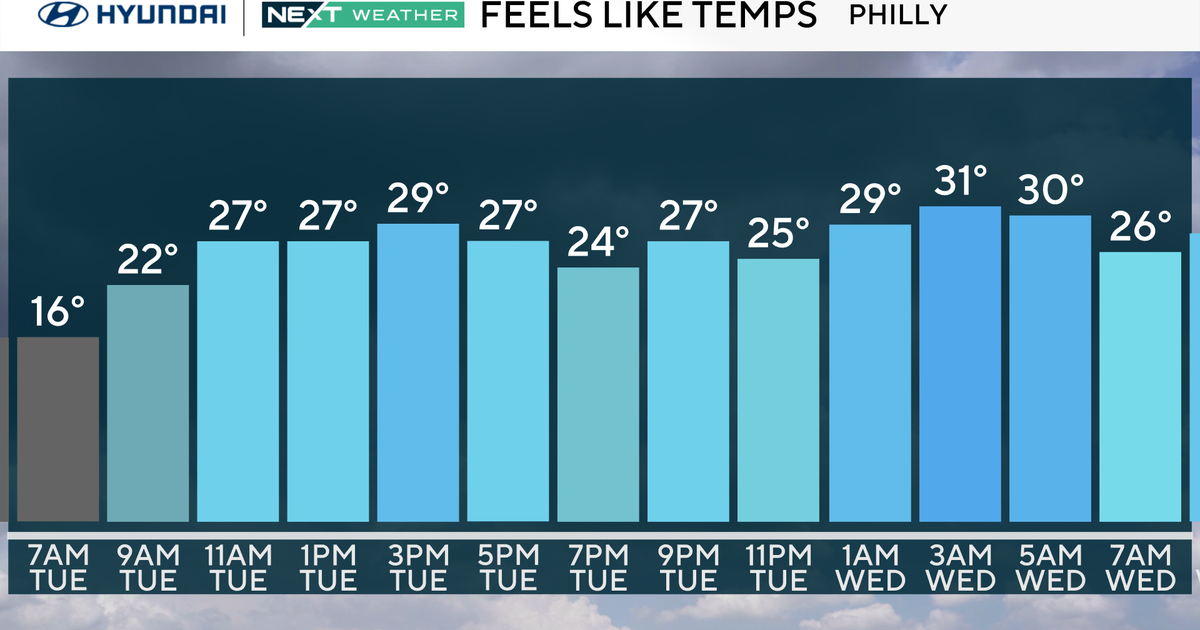
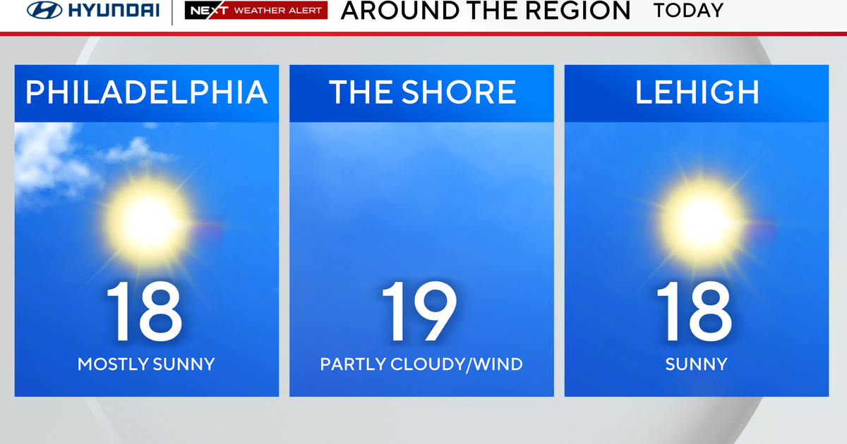
It's going to be a mild (relatively-speaking)Valentine's Day with highs in the middle 40s, but this will be accompanied by more clouds than sun and a slim chance of a spot shower. There is an Alberta Clipper low pressure system passing to our north with a weak cold front swinging thru this afternoon and a stronger cold front this late this evening. The latter will increase winds (Wind Advisory...7pm Mon->6AM Tue...gusts NW 45-50 MPH) and open up the gates for colder air to seep into New England on Tuesday. However, a 'February Thaw' begins Wednesday, and temperatures reach a crescendo Friday! Friday's highs will be in the lower 50s! Check out the warm air on this weather mode l...

The reason for the calmer weather is the jet stream becoming zonal...flatter trajectory from west to east. No significant troughs and ridges for a few days will be responsible for the trouble-free weather. Here's a look (the trough is affecting the Pacific Coast)...

This weekend will be colder though as a cold front pushes thru PM Friday. The daily high temperatures will cool back down to the 30s.
Melissa :)


