Last Gasp...
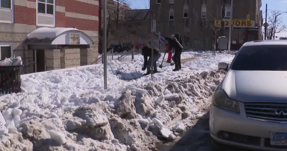
We are going on 33 hours with this storm and Boston barely has anything to show for it while most towns inland have received several sloppy inches of snow and slush. The highest amounts were found in Southern NH...around a foot.
So far Boston has only picked up 0.9 inches of snow but as I type, the wind has just backed just west of north and Logan is reporting 1 mile in snow. We are currently just 0.4" from falling into the two hole for least snowy Winters...this will literally be a photo finish as the back edge is working toward the 128 loop right now...tick, tick, tick. A bigger issue than the snow this evening is the fact that temps are falling into the 20s thanks to that north wind. We are seeing all water, slush and snow freeze up solidly...many will have to chisel their way into the car tomorrow morning.
We will be between storms tomorrow but clouds hang tough...temps will struggle through the 30s thanks to the fresh snow pack. Our next storm will travel to our west this will send a surge of warm air up the East Coast shooting temps up through the 40s close to 50. The coldfront that comes through will be very active and a period of rain will accompany it. Following the front, temps will slowly be cooling off but won't bottom out until a secondary coldfront comes through later Sunday. Temps will be below normal for a couple of days in that cold flow but a HUGE warm up looks likely later next week.
Watch Todd's Forecast