Keeping Up...
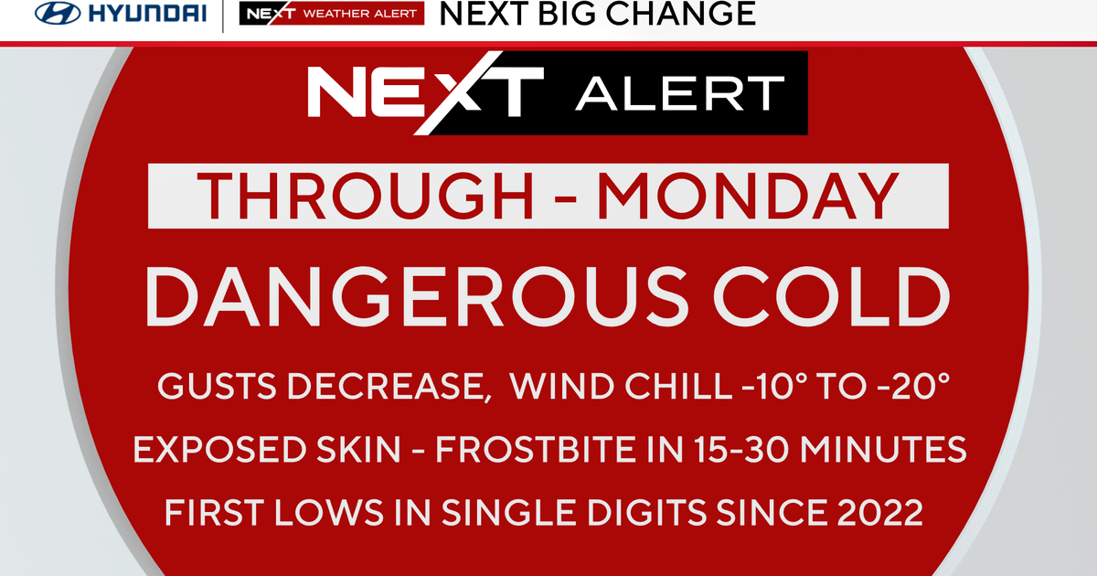
Tough keeping up with Mother Nature today. Once again Boston saw a high of 60 degrees...set just after 4PM. This makes two days in a row of 60 degree days, the first time this has happened since last October! Well, it's about over as a potent coldfront is about to shove the Spring-like air out to sea...this front is fairly active too...in fact thunderstorms have erupted along it this evening. These storms marched through Central Worcester County with vivid lighning and even some hail! In fact, a man called in from Rutland saying his car was getting hit with golf ball sized hail! These storms are anouncing the colder air...the cool down won't be instantaneous but by morning there will be some icy spots with temps around or slightly below freezing. The cold pours in a potentially damaging wind tomorrow...gusts to 50mph. The wind won't be as strong on Sunday but the temps will be a little lower...highs in the lower 30s.
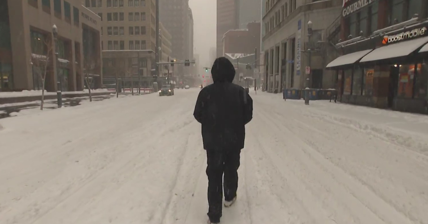
The next storm isn't going to be a big one but it's going to be a tough pill to swallow after this Feb thaw. A cut-off low will open up out West and eject itself across the country as it gets picked up by a howling jet stream. This will be a very fast moving system starts snowing during the pre-dawn hours of Monday and exiting in the early afternoon. Models are advertising no more than .5 liquid right now so not a huge storm but a few inches looks likely...maybe 2,3 or 4"...enough to plow and shovel...YUK!


