Just a Taste...
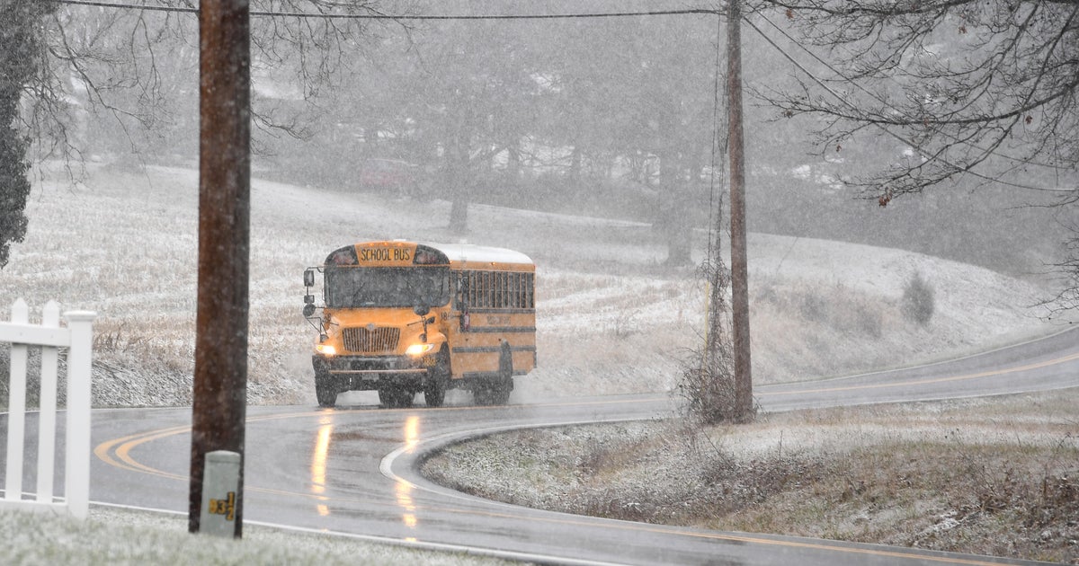
OK snow lovers that was a little taste...just a nibble for you...many woke up to a slushy coating this morning. The atmosphere has been warming this evening and will continue to do so, so the frozen precip is about over. A 996mb stacked low pressure center is located about 100 miles south of the Mid-Cape right now and is beginning to drift away to the south and east. This will be a very slow process so improvements won't really be seen in earnest until Thursday! Persistent NNE flow will keep the moisture surge going leading to periods of rain and drizzle tonight and tomorrow with the steadiest and heaviest expected tonight. There will be some embedded heavier downpours due to the stacked low or cold pool of air above us adding additional lift.
This storm has and will continue to produce wind and pounding surf. There is a Wind Advisory in place for the Cape and Islands all day tomorrow and even though there is no advisory up there will likely be more coastal flooding, beach erosion and large waves during high tide tomorrow in the early afternoon.
The cut-off low will proceed to drift away but the large cyclonic circulation will keep that NE flow going locking in moisture, clouds or occasional light rain or drizzle through all of Wednesday. Finally by Thursday ridging at the surface and aloft will successfully work in providing ample sunshine and warmer temperatures through the upcoming weekend.


