Irene Targets the East Coast...
Irene continues her journey north steadily making progress toward Eastern NC and then up the Mid-Atlantic and into the New England. Irene had a tough time today, despite being over warm water and away from any land she weakened and is now a weaker CAT two hurricane with winds of 100mph. This is good news because the window for her to strengthen is closing. Once she makes landfall and interacts with Eastern NC and the rest of the Mid-Atlantic there has to be some negative impact on the cane. Not only that, but as it heads north it will be gradually encountering colder ocean water and some increased sheer so at this time worst case scenario is now off the table and we are looking at a decaying CAT 1 hurricane at landfall somewhere along the central CT shoreline.
Watch Todd's forecast
With that said, that puts most of Central and Eastern MA to the right of the eye...the stronger side of the storm in terms of wind. We are likely looking at frequent gusts of 40-60mph and a few gusts that will be between 60-80mph. The strongest gusts will occur on the South Coast where hurricane conditions are likely. These kind of winds will be enough to topple trees, add to it a saturating ground from all the rain, and root systems of trees will be very vulnerable and we are expecting many to lose power at some point on Sunday and it could stay out for extended period of time...maybe days so plan for that. Also, please remember to bring in any loose lawn furniture etc...otherwise it could blow away or become a projectile!
Flooding at this time is not our highest concern. Sure, we are going to see some but Flash Flood guidance shows that most of Central and Eastern MA can handle 5" of rain in a 12 hour period so rivers and streams will rise rapidly but should stay in the banks. Of course street flooding will be a different story. In Western MA, where the heaviest rain is going to occur, 5+" rivers are going to be very susceptible and freshwater flooding will occur.
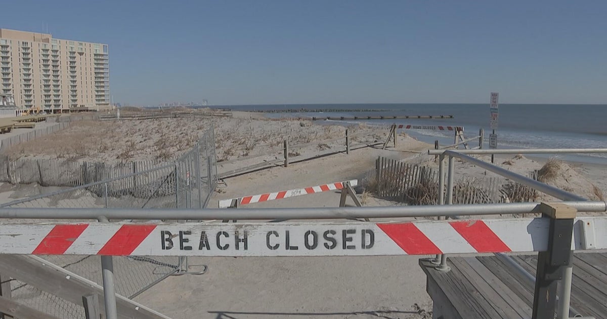
Lastly, the storm surge...this can be very dangerous for located along the coastline especially along the South Coast. High tide in SE Mass is around 8PM close to or shortly after the center passage. We are currently expecting a 4-8ft surge...not as bad as Bob in 1991 but still significant and flooding of marinas, harbors, some shore communities and shore roads will occur!