Heavy Rains Spread East Tonight, Showery Sunday
Hazy Sun with a SW wind this morning allowed temps to skyrocket into the mid-upper 80's for a very warm muggy day. Not a bad day at area beaches and pools to find relief and great surf for body boarding. Clouds have rolled in ahead of next batch of rain.
Tracking a complex of rain and thunderstorms moving out of the Catskills. This will continue to spread clouds our way the rest of the evening. Most of the rain has waited for the evening hours...where is will be out west from 6 PM -9PM, then begin to shift east, Heaviest rain will be found after midnight. The column is loaded with moisture, so expect a few heavy downpours and maybe even some embedded thunder.
WSW winds aloft will continue to transport warm humid air into the northeast while also providing the dynamics for considerable lift in the atmosphere . A wave of low pressure will be tracking near or over the region tomorrow. Heaviest of the rain will be ending after dawn with still lingering showers at the coast. Lingering showers and drizzle on and off into the afternoon...with the occasional downpour. A few breaks of sun are possible in western New England by the afternoon which could give way to a sudden surge in temps. I expect highs to remain in the 70's for most. A Solid inch of rain will likely fall with some areas getting as much as 2" in the downpours.
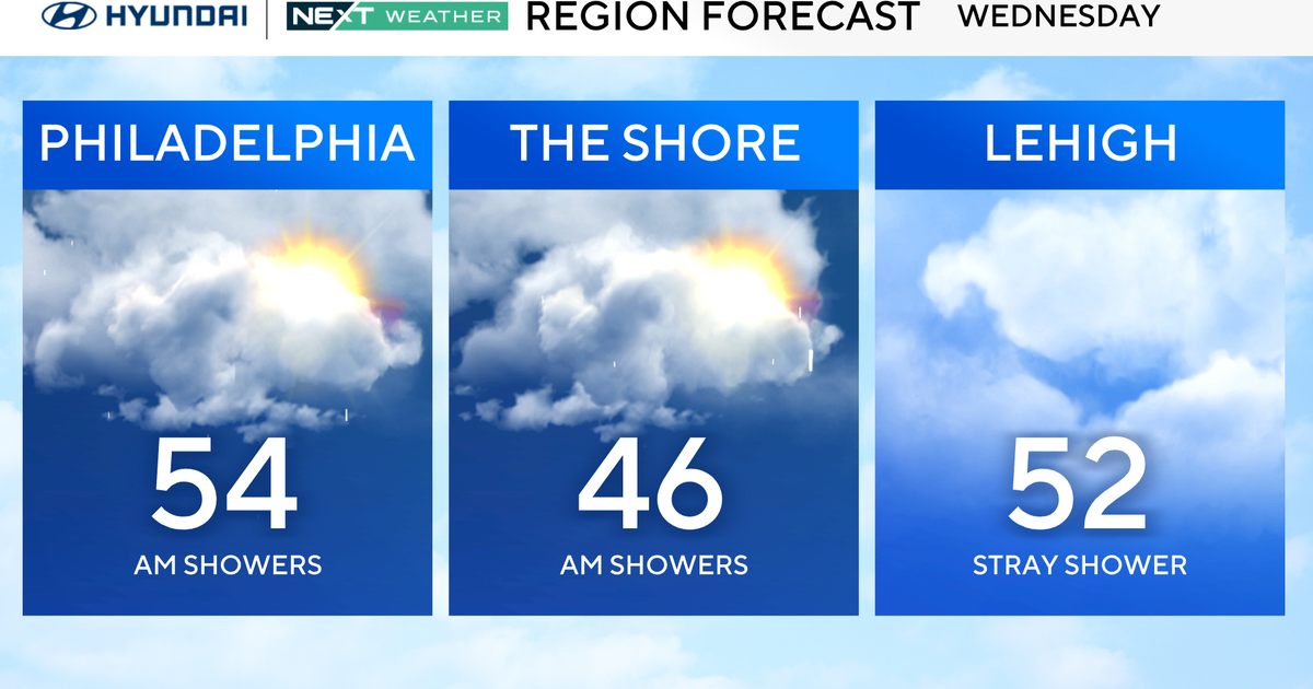
By Monday as the one low pulls away, another shortwave will dig in from the Great Lakes. With cooler drier air aloft the atmosphere will destabilize and provide the risk of scattered PM showers and thunderstorms to redevelop. The low will sit over us Tuesday with more clouds, and scattered showers before the cold front finally pushes through Wednesday with a few more scattered showers and thunderstorms. Finally, by Thursday high pressure will be moving in from the west with increasing sunshine and lowering humidity which will hold into Saturday. With Highs in the upper 70's and Lwr 80's.
This is all part of the cooler trend I have been talking about for August. A persistent trough still looks to become established across the Northeast through the 20th helping to keep the nation's intense heat and humidity away for the immediate future.
Oh by the way, at 384 hours out, the 12Z GFS has a major Hurricane off the coast of the Carolinas for August 22nd. This is just one model run, and this will certainly change. But there is a growing concern about this hurricane season. The NHC recently upgraded their forecast. This model run is pushing along the idea that there is an increased risk along the east coast for a land falling hurricane along the east coast this year. For years, we have been saying we are overdue. The Mid-Atlantic to New England are living on borrowed time. History has shown major falling hurricanes will cripple this region. How will you be prepared? Will you be able to go several days or weeks without power, gas, water, food , water? It is something we all need to think about seriously. If a storm does hit, there of course will be a mad dash for supplies. Don't be caught in the panic. Be prepared for the safety of your family. Hurricane Preparedness Tips
