Hurricane Sandy: What's Left, What Was & Could Have Been
BOSTON (CBS) - What's left of Sandy is now well inland, gasping for air over New Jersey and Pennsylvania. Our concerns here in Southern New England are lessening tonight. Winds are averaging about 20-35 mph.
The torrential rainfall has headed north and will just be spotty from here on. The coastal flooding will continue through the midnight east coast high tide, but will be no worse than earlier today, with just some pockets of minor to moderate flooding.
Check: Tracking Maps | Interactive Radar | Current Conditions | Forecast Maps
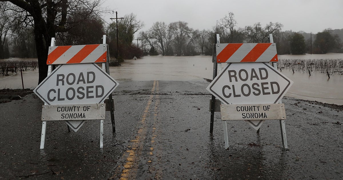
Our attention and focus now shifts southward to Atlantic City, New York City and the southwest coast of Connecticut, where the flooding and wind damage will be a story for days and weeks to come.
It was, in many ways, a "perfect storm" for those locations. A strong hurricane coming on almost a direct west to east trajectory, is truly a worst case scenario for the Mid Atlantic and New York City coastline.
The sharp angle where the coastline of Connecticut, New York and New Jersey meet created a funnel and Sandy's powerful east winds forced a tremendous amount of ocean water into the area.
We likely wont know the full scope of the damage until Tuesday morning, but no doubt it will be historic - a once in a lifetime storm for residents down there.
We really lucked out. That could have been us. That was the fear here for the days leading up to the storm. A slight shift in track would have brought Sandy's full fury to the Southern New England coastline and the life-threatening flooding in New York City would have instead been ours.
Gallery: Hurricane Sandy Photos
You can clearly see now how high the stakes are with an event like this. Weather models were forecasting a northeast landfall 7-10 days ago and a slight shift of 50-100 miles can mean all the difference.
Consider the storm was over 1,000 miles wide as it made its trip up the east coast and being pushed and pulled by a bizarre setup in the atmosphere - a cold front wanting to push it out to sea, a digging jetstream trying to pull it closer, and a giant roadblock in the Northern Atlantic causing all of these elements to pile up, stop and in some cases move in reverse.
It was truly a once in a lifetime setup and storm. The weird thing is - we were saying the same thing one year ago today when the October Snowstorm paralyzed this area.
How many once in a lifetime events can you have in a lifetime? Apparently the answer is much greater than one... and we are still counting...
You can follow Terry on Twitter at @TerryWBZ.