Hurricane Sandy: New England Likely To Feel Some Effects
BOSTON (CBS) - Our midday suite of weather models has made a dramatic shift in the ultimate track of Sandy, which officially became a hurricane late Wednesday morning.
Nearly all now pull Sandy back westward, towards the East Coast early next week. Only a very few still kick Sandy out to sea.
This is an important development, but still, this far out in time and does not signify anything definite.
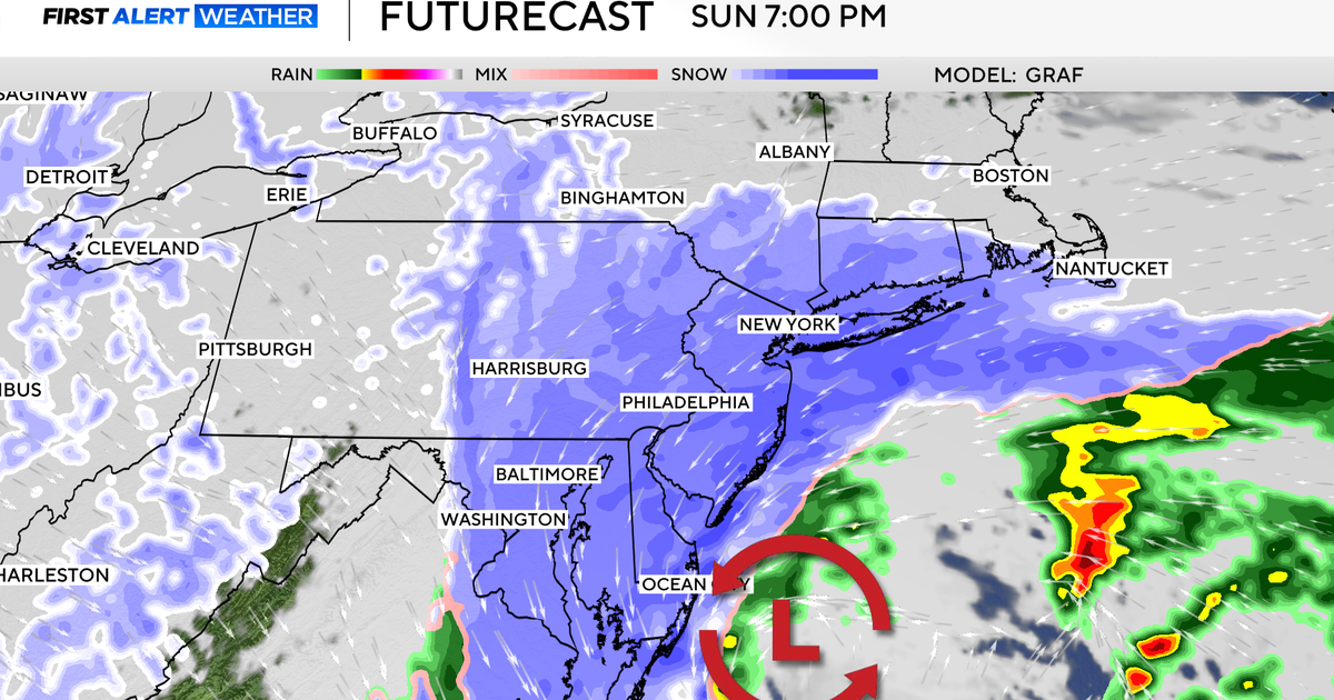
The current projected landfalls for Sandy extend from Maine all the way down to Delaware. Even if it were to make landfall as far south as Delaware, the effect here in New England would be significant due to the size of the storm.
It is important to begin making preparations for a major storm early next week and of course stay tuned to updates to the forecast.
Hurricane warnings are in effect for all of Jamaica and eastern Cuba, while tropical storm watches and warnings have been posted for most of the Bahamas and southeast Florida.
Check: Current Conditions | Weather Maps | Interactive Radar
By Sunday, Sandy will either be a strong tropical storm or minimal Hurricane positioned between the North Carolina coastline and Bermuda.
It is from this point forward where the confusion lies.
Our weather models continue to disagree on how Sandy will interact with the jet stream and upper air pattern in our northern latitudes. This, by the way, is not abnormal, especially in the spring and fall when the atmosphere is undergoing a significant change from summer to winter.
It is not uncommon for the jet stream to contort into all kinds of strange configurations, and for large storms to stall and block the atmospheric "traffic" for days on end.
TOO EARLY TO TELL
These are the days when meteorologists truly earn their pay and when forecasting is at its most difficult.
The weather models we rely on and interpret are notorious for flip-flopping in conditions like these, causing lots of hair pulling and in many cases over-hyped forecasts.
It is a fine line that forecasters must walk and one that our weather team has been trying to balance for the past several days.
We want to convey the potential hazards with this storm while at the same time keeping things in perspective 5-7 days ahead of it.
You will also hear more "meteorological speak" than usual - words and phrases like "atmospheric blocking" and a "negatively tilted trough" when what most readers want is just the bottom line - Is it going to be a hit or a miss? Am I going to lose power? Will Halloween be delayed?
So here is our best shot at it at this point, some 5-6 days in advance.
LATEST FORECAST
The likelihood of New England feeling some effects from Sandy is increasing.
While most models still do not show a direct hit, more and more are agreeing that Sandy will have no escape route in the Northern Atlantic. Another large storm will block the road for Sandy, stopping it from just flying by New England out to sea. This may cause Sandy to retrograde, or back up towards our coastline. It could just be a small piece or the entire storm in some fashion moving backwards (from East to West). This could come in the form of a strong band of rain and wind lasting for several hours or something much more significant.
While Sandy will likely lose its tropical characteristics by the time it gets this far north, it will still be just as dangerous.
This transition from what we call a "warm-core" tropical system to a cold core (nor'easter-like) system is a complex transformation. While the winds around the center of the storm may lower below hurricane strength, strong winds will extend out several hundred miles and effect a much larger area.
Our coastline is of greatest concern.
If the worst case scenario does unfold early next week, our coast will take an absolute beating for several successive high tides. Tides are not astronomically as high as they were earlier this month but still high enough that combined with an unrelenting, powerful easterly fetch we would be looking at a significant coastal flooding and erosion situation.
Wind damage inland will also be an issue.
With many of the leaves still on the trees, strong winds would be more likely to bring down trees, branches and power lines. Just remember back to our October storm from last year and the widespread outages we had.
Finally, there will not be a 100-percent confident solution for a few more days.
We will not likely be able to say with absolute certainty that Sandy will be a hit or miss (or something in-between) until later this week or perhaps this weekend.
As discussed earlier, the atmospheric setup is just too complex to be resolved any sooner. However, you should stay tuned to updated forecasts daily, this is a potentially historic and extremely dangerous storm.
The more informed you stay, the better, and it is never too early to start storm preparations.
You can follow Terry on Twitter at @TerryWBZ.
