Hurricane Sandy: Intense Winds Expected In New England Monday
BOSTON (CBS) - Confidence continues to increase for the track and severity of Sandy this morning. Nearly all weather models forecast a landfall in Central New Jersey Monday night.
This mirrors the official National Hurricane Center forecast as well. While there may still be some small deviations in the final track of Sandy we can forecast the effects in Southern New England with a good degree certainty at this point.
Gallery: Latest Sandy Forecast Maps
Sandy remains a minimal hurricane with winds of 75mph this morning but I would stress that whether Sandy's official status is a hurricane, tropical storm, or some kind of extra-tropical system due to a change in structure, doesn't really matter much. Sandy's wind field continues to expand and intense winds will be felt for several hundred miles outward from its center. So while the official track may be some 150 miles south of the New England Coastline, our entire area will be well within the intense wind field of Sandy for several hours on Monday and Monday night.
Check: Tracking Maps | Interactive Radar | Current Conditions | Forecast Maps
Here is what you can expect in Southern New England...
Timeline: Earliest effects from Sandy will arrive Sunday night as some bands of showers well out ahead of the storm. Winds and seas will increase Sunday night especially along the South Coast. By Monday morning conditions will be steadily deteriorating. Bands of rain will be rotating northward, some very heavy. Winds will be steady and increasing out of the east/northeast. The peak of the storm will arrive Monday afternoon and evening. We will endure about 12-18 hours of peak conditions...by Tuesday at dawn, the center of Sandy will be completely over land and weakening rapidly. Gusty winds and scattered downpours will continue through the day on Tuesday but much less severe.
Coastal Threat: The greatest threat from Sandy will be along our Coast, especially along the South Coast in areas from New Bedford west to Southern Rhode Island including Narragansett Bay. The Monday evening high tide in these locations will be most destructive with moderate to major coastal flooding expected. A storm surge of 3-5 feet is likely with very large breakers generated from 30-35 ft waves just offshore. The National Weather Service is predicting this may be the most significant coastal flooding to affect the RI Coast since Hurricane Bob. For the East Coast of Massachusetts, two high tide cycles will be affected...midday Monday and late Monday night. Thankfully, some of the highest surge and strongest winds from Sandy will occur during the low tide Monday evening along the East Coast. Given all this, minor to moderate coastal flooding is expected along the entire East Coast along with severe beach erosion.
Wind threat: Widespread damaging winds will be the biggest problem for the majority of our viewers living inland from the Coastline. We will see substantial tree and wire damage leading to many power outages. Winds along the Coast, especially south, will be sustained 35-45mph with gusts to near 70mph. Inland, sustained winds will be 25-35mph with gusts to 60mph, strongest in higher elevations.
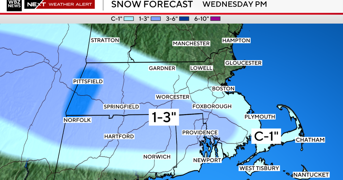
Rainfall: This will be the least threatening issue with Sandy, but still something to monitor...rainfall totals should average 1-3" with isolated totals up to 5" in some upslope areas in Worcester County and Western MA. This may result in brief urban flooding but river and stream flooding is unlikely.
This will feel like a nasty nor'easter for most in Southern New England. While it will be a very powerful and dangerous storm, it will not be a devastating or catastrophic event for most. Again, the largest threat remains the coastal flooding and strong winds along the South Coast, that will be where the worst, most widespread damage will occur. That being said, this storm should not be underestimated either. All inland residents should prepare for the worst and finalize any and all preparations on Sunday. Please stay tuned to updated forecasts.
You can follow Terry on Twitter at @TerryWBZ.
