Hurricane Sandy Grows To Largest Atlantic Tropical Storm Ever
BOSTON (CBS) - We've been talking about Sandy for a week now, and it's arrival is Monday.
Sandy remains a hurricane and is half way between Bermuda and the Outer Banks of North Carolina.
Sandy's size is immense. In fact, the storm is already setting records and is now the largest tropical system in history in the Atlantic Basin. Sandy is nearly 500 miles to our south but because it's so large, it's already producing tropical storm force wind gusts on the South Coast of 40 mph or higher. This is important because even though Sandy's center will make landfall in New Jersey, 200 miles to our south, the effects will still be very damaging here in New England.
Gallery: Latest Sandy Forecast Maps
Sandy will begin to turn to the NW late tonight, traveling through our coastal waters during the day tomorrow, and then make landfall tomorrow evening. This means the worst conditions will be felt late morning through late evening on Monday. Locations closest to the storm's core will get hit the hardest, namely the South Coast of New England.
The wind will be long-lasting and fierce, maxing out with hurricane force wind gusts over 74 mph early tomorrow evening. The persistent wind coupled with huge waves of over 20 feet will lead to an historic storm surge, especially at the mouth of Buzzards Bay and Narragansett Bay. Almost all shore roads will take on water and debris. Whole communities could be cut off from access and some shoreline may be reshaped. The wind will lead to widespread tree damage and power outages that could last for days. There will also be minor structure damage to roofs, shingles, vinyl siding and gutters.
Check: Tracking Maps | Interactive Radar | Current Conditions | Forecast Maps
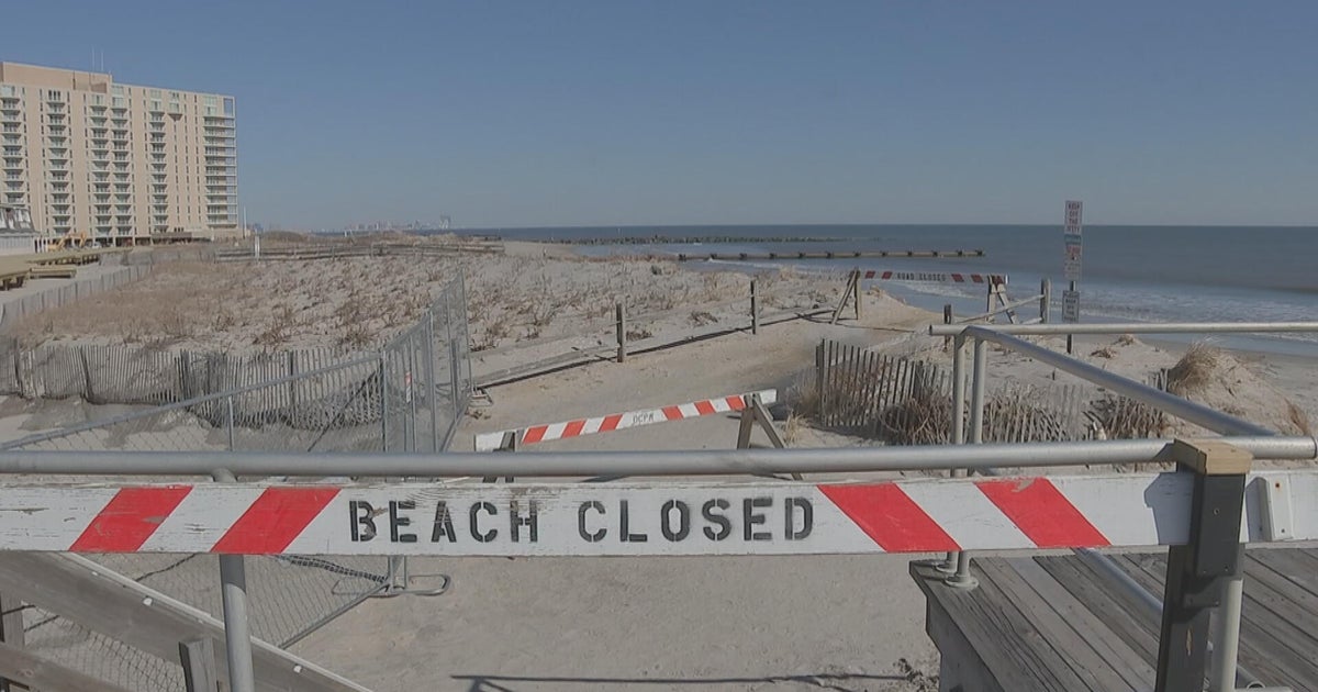
The rest of the Eastern Massachusetts coastline will also have problems. High tide is midday and midnight tomorrow and both tides will lead to moderate coastal flooding with some shore roads becoming impassable due to water and debris.
The wind gusts will be very strong and, while most gusts will top out in the 60s, there is a chance for a hurricane force wind gust especially on an elevated or exposed spot along the coast. Power outages will be widespread and could also be lengthy.
All towns away from the coast will experience conditions equivalent to a very nasty Nor'easter and it's all about the wind. The wind will be steadily increasing early tomorrow morning. During the height of the storm - in the late afternoon and early evening - gusts will approach and may exceed 60 mph. The result will be scattered to widespread power outages that could also last days.
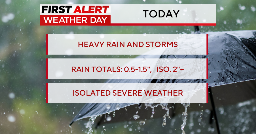
The rain should be the least of our problems, with the region looking to receive 1-3 inches. Most if not all of our rivers and streams should be fine. The highest amounts will likely fall over the elevated areas in Central and Western New England. Street and basement flooding will be possible in spots.
Preparations should have been already completed but if you still have to go out tomorrow morning please be careful.
