Hurricane Irene Remains Strong...Strong Storms Today
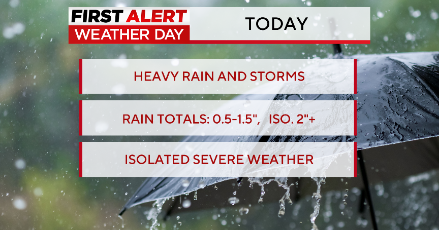
BOSTON (CBS) - Sunshine and clouds will be the weather story early today before the arrival of strong to severe scattered storms this afternoon and evening.
Check Latest: Tracking Map | Satellite Images | Interactive Radar
The best chance for storms will be after noon for central Mass. and after 4pm for eastern and southeastern Mass.
Watch Melissa's forecast:
The culprit is a cold front which will slowly move through southern New England tonight.
A few showers and storms will continue tonight before gradually tapering from west to east.
It is going to be a very humid day with high temperatures in the lower and middle 80s... upper 70s for the Cape/Islands.
IRENE UPDATE
Friday will be the break in between today's storms and the arrival of Hurricane Irene.
The track of Irene remains somewhat uncertain.
The latest models are now trending the eye of the storm slightly farther west.
This forecast would take the eye of the storm directly through Connecticut and into western/central Massachusetts as a potential CAT 1 or 2.
If this turns out to be the case, most of us would be located to the east of the eye.
That means we would be dealing with the highest winds.
The heaviest rain is generally to the west of the center of the storm.
Nearly every model is showing that Irene will maintain hurricane status as she approaches New England.
A Hurricane Watch has now been issued for the northen coastline of North Carolina, including the Outer Banks.
A Tropical Storm Watch has been issued for much of the South Carolina coastline.
Our entire weather team will be working this weekend to keep you up-to-date with the forecast and the track of Irene.
***You can also keep up-to-date by following us on Twitter at @WBZweather and checking our Facebook page***
Be safe...
Melissa
