Hot... But Even Hotter Days Ahead
It is going to be another hot and humid day with highs near 90F.
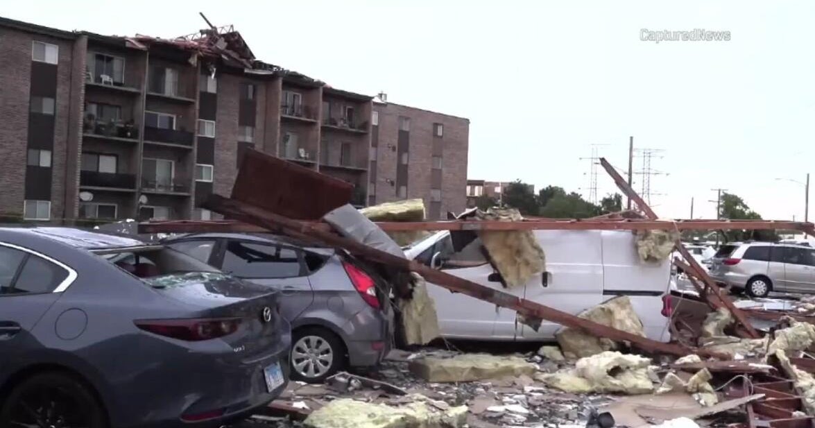
There's a risk of strong to severe storms this afternoon and evening.
CAPE values will be around 1500, and the LI numbers will be between -3 and -5. These severe weather paramters are a couple of indicators that point towards the *potential* for severe weather, including heavy rain/flash flooding, lots of lightning, and damaging winds.
Check: Interactive Radar
The cold front responsible for these storms will move towards the southeast Monday night. There may be a few lingering showers/thunder for extreme SE Mass. early Tuesday morning.
Then, skies will become partly cloudy with a slight chance of a spot shower/storm during the afternoon. Highs will be hanging in the middle to upper 80s.
Watch Melissa's forecast:
Late-Week 'Scorcha'
Highs will come close or possibly reach the century mark on Thursday &/or Friday!
Heat indices will surpass the 100F degree mark. It will be important to be extra careful during this period of extreme heat.
The GFSx is hinting at a cold front moving through this Friday evening/night. This would produce a few showers and storms before providing some relief this weekend.
*Tropical Storm Bret*...50 mph winds...moving East at 3mph...NOT expected to make landfall
Melissa :)
