Hope & Change
We sit sit here today in awe watching a storm delivering snow to Texas and Arkansas and eventually to the Carolinas. Most importantly, it is is the first storm to stay south and miss New England since December! At one point, it seemed virtually every storm took a track that brought snow and moisture from the south into much of the Northeast. But lately there has been slight changes in the track, just enough to create rain at times, and now cold dry high pressure in conjunction with a strong northern jetstream is helping to direct a storm south of us finally!
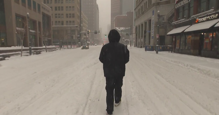
It has actually become kind of boring..to some of our delights! Seriously, we were starting to reach a tipping point. Horrible to hear of the roof collapses. Peoples homes were starting to leak. It was getting to be too much. Mercifully, nature has put on the brakes just in time and this is just what we needed to avoid any big problems...a long spell of quiet storm free weather.
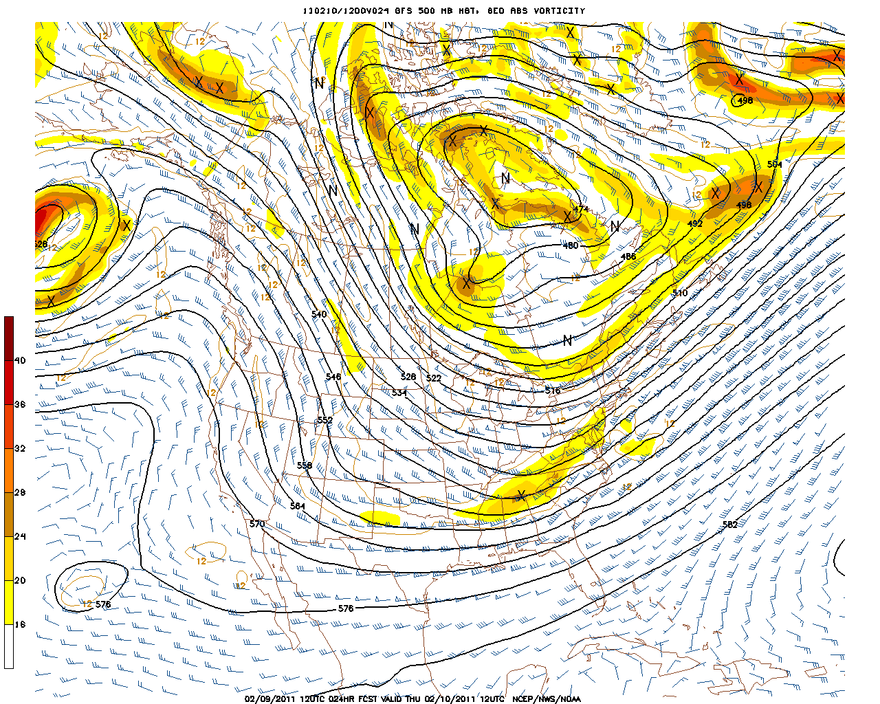
Our extreme snowy weather pattern happened because a big upper level block was in place over northeastern Canada, which helped to turn the surface lows up the coast, causing the upper level lows to strengthen, resulting in numerous significant snowfalls in a very short amount of time.
Looking down the road we have been talking about a pattern change. But there still is some cold, a few clippers and a trough in place across the Northeast through next Tuesday which will help to keep New England in the Cool...but how cold will it be?
Warmer Pacific air will push in and up over the ridge and then into the base of the trough. Cold arctic air will be locked further up into Canada. A more of a zonal, west to east flow will be in place over the lower 48 heading into next week. Thanks to a negative PNA, and positive AO and NAO , this should enable a surge of warmth coming out of the southern states and heading east.
So even though the trough will keep us watching from the sidelines while the rest of the nation warms up...it will only be a matter of time before the trough lifts out with the upper level ridge shifts east to provide a wonderfully mild February thaw by next Thurs and beyond into the weekend of the 19th. This pattern should hold through the 24th. Below is the Canadian Ensemble from the period of February 15th-23rd. You can see that much of the nation is expected to warm up, including the northeast with above normal temperatures.
Does the trough stay in the West through the end of the season? Yeah right! Or will it return in some form to the eastern U.S? Much more likely.
The end of February into March will likely start to resemble the la Nina pattern we have become used to. While we warm, Western areas from the Cascades to the Rockies will have a skiers paradise with the potential for several feet of snow.
Despite all the hope and change being talked about, we still have to remember our latitude and proximity to the Canadian cold. So even though temperatures will not be excessively cold for a while, just enough cool air could be able around at times to create a boundary of differing airmasses which a short wave could ride and form periodic clippers.
The trough that sets up in the West next week will start to move east and re-establish itself in the East by late in February. Looking back in history, March can sometimes be the snowiest month in a La Nina winter. So there still is the potential for a few sizeable events before we are totally out of the woods by spring.
La Ninas are famous for their late-season high jinx. New England is likely to become the battle ground in a pattern where cold is trying to push back against the warmth in the South. This could mean a few more clippers or even another coastal storm? I remember last year calling winter over in February. Some thought I was silly for saying that. Well March and April were nothing but warm. I am surely not going to say that this year! Even though I think we have seen the worst of winter already....especially once south of New England. Putting the month of February behind us will help the cause for sure! This March and April should not be anything like last year...This may be a case of stating the obvious in this out of control La Nina year.


