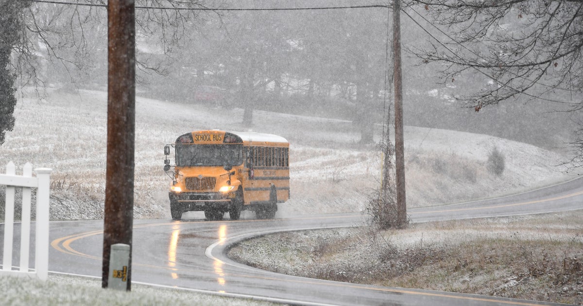
Here Comes the Wind...
The first part of this storm, the wind, was a disappointment the next two parts will not be. First up is the rain...heavy rain is moving through this evening and there have been many reports of thunder due to the potent mid level energy. The back edge of the rain is already moving through Western NE so it should shut off around midnight. After that, wind will shift to the west and bring is drier air...the sky will clear. If you are up before 9AM (pre kids, this would be me!) you will see bright sunshine, however the air will be quite unstable and daytime warming will promote stratocumulus clouds that will end up dominating the sky and pinching off the sun in large intervals.
The biggest story tomorrow and of this storm will be the wind. This storm is really going to strengthen to our NE and the pressure gradient will be very tight...this will lead to very windy conditions all day tomorrow. BUFKIT profiles are showing 50-60kt winds transferring down to the surface with the downsloping. This will certainly lead to a lot of twigs and even limbs down in the neighborhood along with some isolated power outages.
The wind will slowly slacken Saturday night and temps will fall into the teens for most. Saturday looks much better with 100% sunshine and less wind although still enough for 30 mph gusts.


