Here Comes The Cold on World Series Eve
Find Eric Fisher on Twitter and Facebook
A good omen in the skies over Boston Tuesday evening! With a front passing through, a few raindrops in the air, and the sun breaking out to the west at sunset; all were treated to a spectacular sight to end the day. A big fat rainbow, parked over Fenway as the Red Sox took batting practice. Let's just say we'll take a World Series Championship as our pot of gold, please. I put a full Storify on the photos taken together, which you can find here.
Alas, that front which helped produce the rainbows was the leading edge of much colder air. It snowed on Jay Peak in Vermont today, and Lake Effect Snow Warnings are up in western New York. That tells you all you need to know! There are also Frost Advisories up for parts of the area. One thing to note - The National Weather Service has deemed that growing season is over for northern Worcester County, southern NH, Franklin County, and Berkshire County. That means they will no longer issue frost advisories there, even if temperatures are expected to be near or below 32º
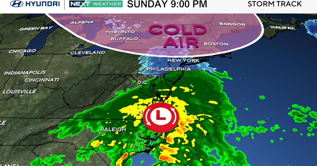
We're watching a fast-moving coastal low for Wednesday, which is expected to bring limited impacts to New England. We may squeak out some early morning sunshine, but clouds will thicken by lunch and the afternoon looks overcast. Showers will pass by Wednesday afternoon, but mainly across southeastern parts of MA. The below map shows the NAM forecast for rain, which I think has a good handle on the system. By far the highest chance of a steady rain will be across the Cape & Islands, but even there totals will be relatively light. Only a few showers expected around downtown Boston.
For those headed to Fenway Park, expect a chilly night! There will be a breeze for those sitting in the exposed upper reaches of the ballpark, and temperatures will be in the 40s for first pitch. Wind chill values may fall into the 30s during the game itself. Red Sox snuggies for everyone. But hey, we're in. That's all that matters.
Thursday and Friday will be similar days featuring a blend of sun and clouds and a gusty northwest wind. The strongest winds will be on Thursday, which may reach upwards of 35mph at times. I expect raking season will be upon us by this weekend with quite a few trees relinquishing their foliage. Highs will be within a few degrees of 50 each day, and lows will be in the upper 20s in the suburbs/low 30s in Metro Boston and low/mid 30s on the Cape & Islands. Chances are most towns will see a killing freeze or heavy frost this week. Friday and Saturday mornings look to be the coldest as the jet stream trough reaches its deepest dive across the east at that time. This is by far the coldest air mass of the season...we haven't even had a single day stay in the 50s this fall! The last time that happened was June 7th, and we should get 6 straight days in the 50s out of this stretch.
Saturday will start off pleasant, but clouds will thicken up during the second half of the day as a potent short-wave dives into the Northeast. This will bring rain/snow showers Saturday night and Sunday. Snow potential looks to be mainly above 1,500' for now, but we'll see if that idea changes as we get closer. We may be able to squeak out some wet flakes at lower elevations. The mountains of Northern New England may end up doing quite well with a few squalls and perhaps a couple inches of snow! They'll also pick up some random snow showers over the course of the next few days, especially WSW facing mountains that can gather moisture in the upslope flow.


