Heavy, Wet Snow Coming Friday
BOSTON (CBS) - Spring storms can be among the hardest to predict. The sun angle is stronger, the ocean waters are cold, but beginning to warm, and the ground has begun to thaw.
Check: Current Conditions | Weather Map Center | Interactive Radar
But the atmosphere is also undergoing a significant change from the cold winter to milder times and many times that can create some very large storms.
I say these storms can be difficult to forecast because the weather models have to take into account all of these changing variables and that can lead to a variety of solutions.
That being said, in order to get a major spring snow storm, nearly all of these "variables" need to line up perfectly, especially in Boston.
At this point, that does NOT appear likely.
Watch Barry Burbank's forecast:
First there is no real source of cold air. Sure, it has been somewhat chilly over the last week or so, but with temperatures at ground level being in the 40s and low 50s today we are starting with a fairly mild surface temperature.
There is cold air available at upper levels in the atmosphere but it would take a very intense storm with just the right track to draw that colder air down to ground level and create a big snow storm.
This is the basis for our forecast for Friday's nor'easter.
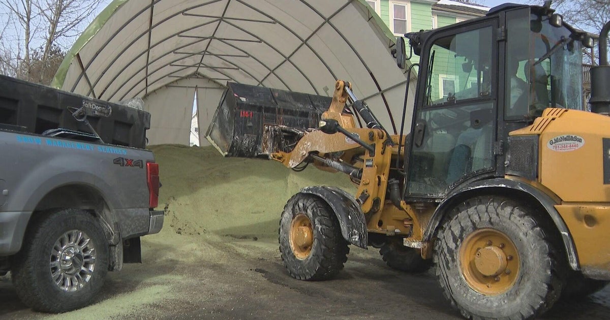
WBZ-TV's Paul Burton shows us how locals are preparing for the storm:
WHERE WILL IT SNOW?
It will likely be just a bit too warm for much snow in Boston and nearby suburbs, including all of southeastern Massachusetts and the Cape.
North and west of the Massachusetts Turnpike and I-495, temperatures will be just a bit colder and that is where the forecast gets tricky.
There will likely be a significant, heavy and wet snow in parts of northern Worcester County, all of western Massachusetts and in southern New Hampshire.
The snow will be so heavy and so wet, it will have the opposite effect of a "fluff factor."
It will likely be hard to accumulate at first and when it does begin to pile up, it will compress quite a bit.
AMOUNTS
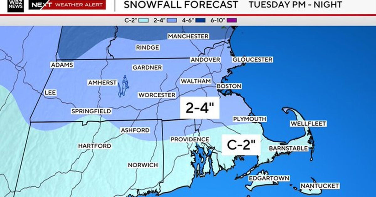
The highest snowfall amounts are expected to be in Central/Western Mass. and up in NH/VT/ME, where 6-12" of very heavy and wet snow will fall. From Route 128 to I495, we are forecasting 2-6 inches, though it's a tough call because the rain/snow line will be right in this area, so we may need to shift this a bit higher or lower depending on the track of the storm.
We are not expecting much snow accumulation in Boston (0-2"), while no snow should fall in southeastern Mass. or over Cape Cod.
Meanwhile, the rain across southeastern Mass. will be heavy at times Thursday night and early Friday morning, 1-1.5" possible with some thunder not out of the question. No serious flooding is expected considering how dry we have been lately.
TIMELINE
The timeframe of the storm begins Thursday. There will be light rain and snow showers during the day, perhaps as early as even Thursday morning, but nothing that falls during the day will accumulate or cause much issue.
The heavy precipitation comes in Thursday night into early Friday morning and tapers to rain/snow showers by mid-to-late morning on Friday.
Winds: Gusty northeast winds from 20-40 miles per hour are expected along the coast late Thursday, but it's not likely any of the winds will be damaging.
Tides: Due to the fast movement of the storm and relatively low astronomical tides, we're not expecting much more than a few pockets of minor coastal flooding.
There's still plenty of room for a slight shift in track, which would have dramatic results on snow totals. We will keep everyone updated whether that happens or not.
