Heavy Rainstorm With Snow In The Hills
You knew it would not be easy. This sort of broadscale warmth does not break down without a fight. We continue to track waves on a slow moving front. This front is draped across SNE this morning and will stall along the south coast. This front will be the focus for lift and showers which will be heavy at times. Winds shifting to the NNE behind this front with a rain cooled atmosphere will allow for falling temperatures through the day...with 50's turning into 40's. Our mild spell of 13 consecutive days above normal is going down the drain today. It was nice while it lasted.
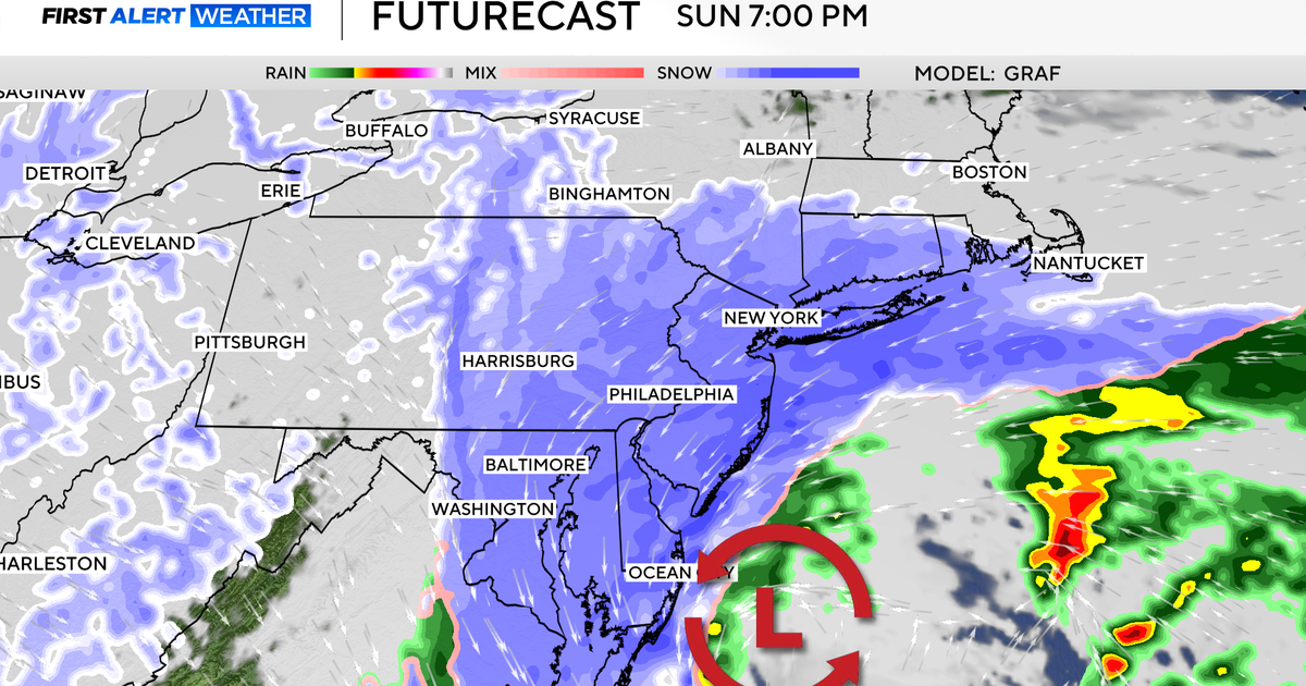
A steady plume of moisture will continue to ride up along this stalled front through the afternoon, evening through the overnight hours. A widespread 1-2+" rainfall..the heaviest rain will fall in southern New England. Delays on the roadways with these wet conditions. Energy is wrapping around the base of a trough which extends down to the Gulf. This energy will shoot up the east coast tonight in the form of a deepening low moving off the Virginia coast and tracking right into SNE and eventually over Cape Cod. This has been trending for a more inland track, so a warmer overall storm for most of us. But those of us who live in the NW hills in mountains will be closer to the cold air and will be first to change over to snow...and thus have the best chance for accumulation.
As the low arrives at the coast tonight, rain will be changing over to snow before midnight in VT, NW MA and SW NH. Snow will quickly become heavy with snowfall rates upto 1-2" per hour at times. Conditions could go down in a hurry late tonight in these locations. These are the areas where there will be jackpot locations for snowfall exceeding 6"...with the probability of snowfall of 8-10" especially in higher elevations in ski country. Mt Sunapee, MT Snow, Jiminy Peak should do well with this storm. Isolated 12" possible into the White mountains of NH as well. After midnight a heavy band of snow wrapping around the deepening low moving over the Cape. Heavy snow in the Berkshires, Monadnock, and Worcester Hills..spreading to Concord & Manchester, NH. I expect Worcester to change over around 2 -3 AM. By dawn on Thursday morning, snow will quickly be pushing off the coast. Boston a brief changeover around 5 AM. South of Boston is all rain. The north shore may see a quick burst of early morning snow. A coating for the 495 belt..with 1-3" for the Worcester Hills, and 3-6+" for the Berkshires, SW NH and S. VT...as mentioned before...there will locally heavier amounts thanks to orographic lift and elevation.
As the storm wraps up and departs, skies will rapidly clear and fill with sunshine Thursday with blustery WNW winds which could gust 40-50..especially at the coast where there is a gale warning through 4 PM Thursday. It will be a very bright, but chilly day with temps feeling like they are in the 30's. We will see increasing high cloudiness Friday with lighter winds ahead of an Arctic front which may deliver a few more snow showers in far northern New England. Dry frontal passage for most. Front is off the coast for the weekend with the coldest air so far of the season which pushes out of Canada into the northeast with building high pressure. Highs this weekend will only be in the 30's to near 40 so be prepared to dress a little warmer in the coming days. Colder but sunny times ahead.