Heavy Rain, Strong Winds On The Way
BOSTON (CBS) - Get your fertilizer down and stow away all the kids' toys that may be loose in the yard, we are in for a very wet and windy night.
Check: Current Conditions | Weather Maps | Interactive Radar
It actually wasn't that long ago that we had a similar weather situation - perhaps you might recall Saturday, September 8th?
It was a very warm and muggy day with some tropical-like downpours during the day and then the actual cold frontal passage came that night with some extremely heavy rainfall and strong winds.
There was a Red Sox game at Fenway that evening and the grounds crew got a real workout dragging the tarp on and off the field. There were actually tornado watches for a good portion of western New England throughout the day, but thankfully, nothing materialized.
Our weather situation today and tonight has some striking similarities to that Saturday.
We have a fairly warm and humid airmass streaming in from the south and some showers, primarily in central and western Massachusetts, out ahead of the cold front this afternoon.
The SPC (Storms Prediction Center) has put all of the Mid-Atlantic, New York City and southwestern New England in an increased risk of severe weather and tornadoes.
That being said, at this point we do not expect any tornadoes in our local area, but the atmosphere is very unstable and it will bear watching to our west later today.
And once again, just like September 8th, the main weather action will occur at night, this time even a bit later than last, around midnight in western Massachusetts and near dawn on Wednesday in eastern Massachusetts.
TIMELINE
For the main rain and wind threat:
Berkshires/Western MA: 10pm-1am
Central MA (Worcester County): 1am-4am
Eastern MA (Boston Area): 4am-7am
RAINFALL
The atmosphere will be primed for very heavy rainfall and locally heavy downpours.
Given the fact that our area has been dry for the last 7-10 days, the large rivers should handle the 1-3 inches that we are forecasting just fine. But some smaller rivers and streams that typically flood could show quick rises.
The main flooding threat will be urban and poor drainage flooding with ponding on roads also becoming an issue for Wednesday morning's commute.
WINDS
Winds will increase this afternoon and be gusty out of the south, especially in elevated areas.
Early on, the strongest winds are going to located "aloft." In other words, it will be very windy in upper levels of the atmosphere not actually at ground level.
What we will be waiting for and watching is for a trigger to mix these winds at upper levels down to the ground. That likely won't happen until later tonight as the heavier rain moves in. At that time, wind gusts of 20-40 mph will be widespread with some higher gusts to 50 mph+ in elevated and coastal locations.
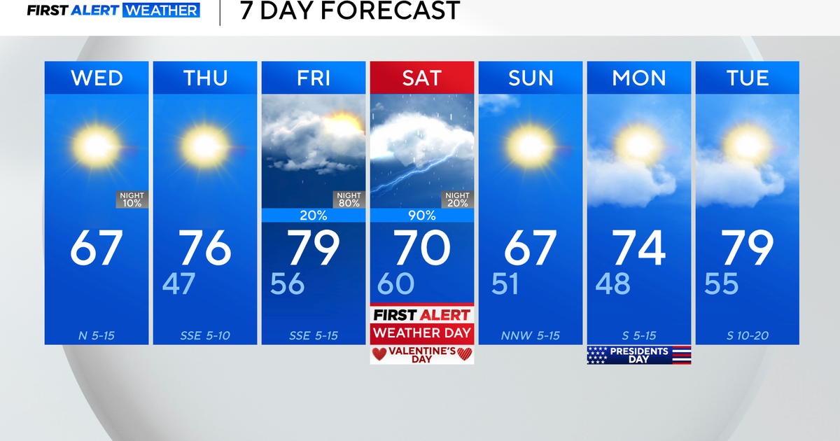
The good news is that the front is going to move offshore on Wednesday, allowing the sun to return. Winds will also die down quickly after the frontal passage.
A few days ago we were concerned that the front would stall close enough to our coast to keep the clouds and showers going in eastern Massachusetts.
Now, it appears that most of the clouds and showers for later in the week will remain just offshore, occasionally drifting over the Cape or extreme coastline at times.
You can follow Terry on Twitter at @TerryWBZ.
