Heavy Rain, Flooding Moves In After Snow
BOSTON (CBS) - This is what we called a well behaved nor'easter. It has pretty much gone according to plan or forecast to this point.
Check: Interactive Radar | Current Conditions | Weather Blogs
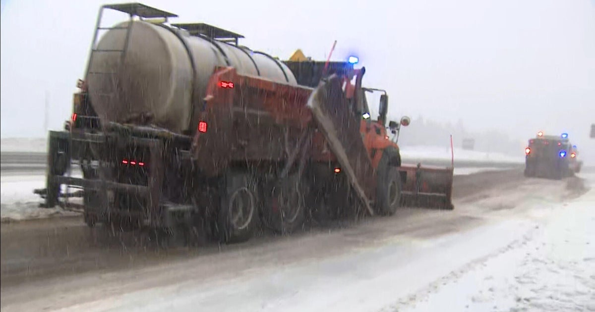
One to-3 inches fell between Routes 128 and 495 late Wednesday night and was quickly turned to slush as it changed to rain early this morning.
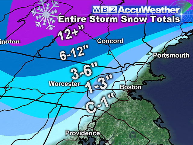
Farther north and west just outside of 495, 3-to-6 inches of snow has fallen and is not washing away so easily due to colder temps. It will certainly be compacted as temperatures continue to get milder and any mixed precipitation changes over to all rain this afternoon.
Read: Snow Totals
The jackpot for snowfall has been in northern Worcester County where 6-to-8 inches of snow has fallen so far. Up in central and northern New England, the ski areas will top out near or just over a foot!
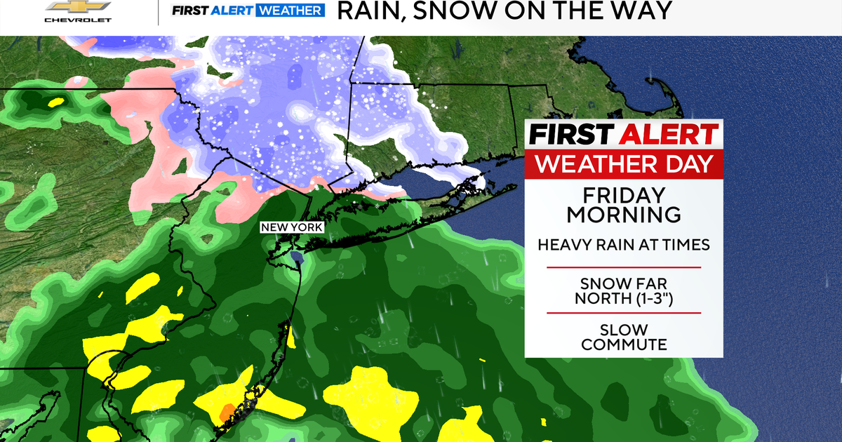
While the snow is beginning to wind down to the northwest, our focus is shifting to the heavy rain and flooding that is now taking place along the coast and over inland eastern Massachusetts.
More than an inch of rain has fallen in much of eastern Mass. and in some cases on top of a couple inches of snow, creating a slushy mess. There are numerous reports of flooded roads, exit ramps and messy travel in general. Along the coast, tides are not astronomically very high but the strong winds gusting over 50 mph are causing some splash over and road closures around the time of high tide (8 a.m.-noon).
WHAT'S NEXT?
This afternoon, the wind and precipitation will gradually taper and conditions will steadily improve through the evening commute.
And more good news, there will be no flash freeze, due to skies staying mostly cloudy overnight, temperatures will be slow to drop.
Boston will stay above 32 degrees all night and most suburbs will only drop slightly below freezing by early Friday morning.
So what's next you ask?
One more powerful storm is going to eject from the Gulf of Mexico and make a run at the Northeast this weekend.
Models have had a difficult time thus far nailing down a track for this one, but at this point I see two potential scenarios.
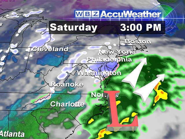
One would be a fringe-near miss. Some light snow could accumulate Saturday afternoon and night but the majority of the storm would stay out to sea.
Scenario two would be a closer track and a significant snowstorm for much of southern New England, no rain involved with this one.
Right now, it is about 50-50 between a near miss and a full-fledged humdinger of a snowstorm, so stay tuned!
After the weekend storm, we turn colder and colder. No storms for a while, but by New Year's Day we will struggle to get into the 20's for high temperatures, and it appears we will remain below normal through most of the extended stretch.
You can follow Terry on Twitter at @TerryWBZ.
