Heat on the Horizon...
An upper level low has carved out a nice piece of real estate here in the Northeast. This has kept the atmosphere very unhappy and when you add sun to the mix storm bubble right up. We saw that this afternoon with some more soakers especially for the North Shore, South Shore and The Cape. No storms went severe but the heavy rain and lightning meant business. The storms get their fuel from the sun so they will slowly fall apart through the evening.
Tomorrow will be similar with a nice bright morning followed by growing cumulus clouds and a few will become heavy downpours. Severe storms are unlikely but heavy rain, lightning and a few may contain small hail. Once again, any storms that form tomorrow afternoon will fall apart near sunset.
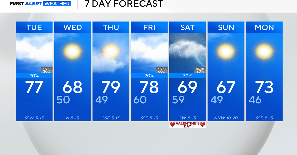
By Thursday the upper level system and cold pool of air will start to lift north, this will start to stabilize the atmosphere leading to fewer showers and storms in the afternoon but still a few will be present. The trough will have lifted completely out on Friday and this will open up the gates for more heat to surge in from the SW. Temps will be on the rise through the weekend and we are likely in for our second heatwave in as many weeks. Highs should be close to 90 on Friday and into the lower 90s on Saturday and Sunday. Along with the heat, higher levels of humidity will be felt. The flow aloft will be zonal...and fast moving shortwaves along with the heat and humidity will spark isolated thunderstorms in the afternoons through the hot stretch but for the most part it will be dry.
