Halloween Thrills and November Chills
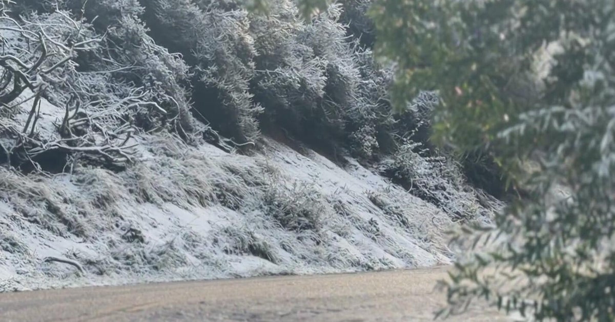
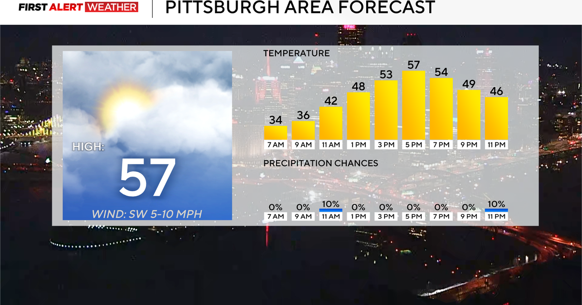
Typical seasonal late October weather today with cool crisp air to start this morning giving way to moderating temps in the afternoon with highs climbing into the mid-upper 50's with a breezy SW wind. After plentiful morning sunshine, high to mid level clouds will be on the increase this afternoon ahead of a weak area of low pressure. This low will cross through the north tonight with the main band of precipitation stationed across far northern New England for a mix of rain and even snow showers above 1,500 feet. Low levels of the atmosphere will be too dry to precipitate in most central and southern areas. Clouds with WSW winds will help to keep lows in the 40's for the overnight.
Sunday will become a cool breezy day...with Partly cloudy skies giving way to increasing afternoon sunshine. Brisk NW winds behind a cold front will help to make temps cooler averaging in the Lwr-mid 50's...but temps will be falling during the afternoon...so by sunset...we will all be in the 40's. NW winds could gust over 30 mph Sunday...so it will be a chilly blustery day.
Trick or Treaters beware! This will be nothing like the past three Halloweens we have enjoyed which were in the 60's. Temps will be in the mid 40's by evening and drop down to 40 degrees outside in the suburbs of Boston by 8 PM! Factor in a busy wind...you have a very chilly night which will be critical to dress warm for..if you want a successful trick or treat. As a kid...I would never let the weather scare me from my candy! I am sure that fine tradition exists today....or have the kids gone soft?
High Pressure builds in through the midweek providing a cooler than normal airmass, but plentiful sunshine. Highs will mostly remain in the 40's to near 50. The coldest air so far this early season. Many frost nights ahead too! This will be the kind of week where some will get the woodstove going to remain warm in their home!
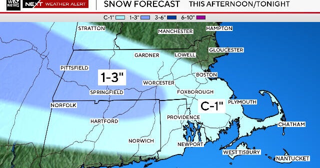
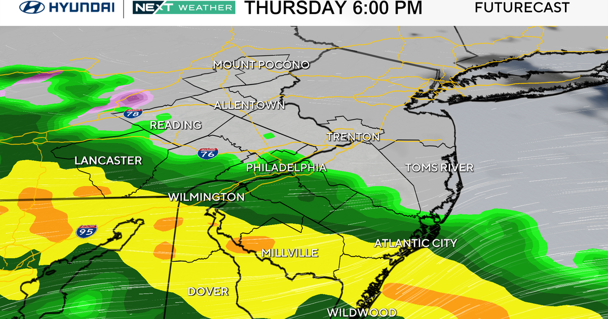
Another trough will begin to dig into the northeast by the midweek and possibly phase with the southern stream for a more amplified low coming up the coast. I currently favor this coastal low scenario which would have rain arriving late Wednesday night and continuing through Thursday. It is hard to say right now...but Air could be just cool enough to the North and west mountains for rain to mix with snow. Just a little too far out to have any real confidence here.
The tropics are alive and well for this late in the season. First we had Hurricane Shari...now Hurricane Tomas...which continues to show signs of getting stronger. Currently 75 mph max sustained winds which slammed Barbados and St. Lucia today. Here is the latest for the National Hurricane Center. Tomas will likely continue it's WNW 15 mph movement for the next several days before approaching Haiti or Jamaica as a Cat 2 or 3 Hurricane.
