Great Finish to the Week...
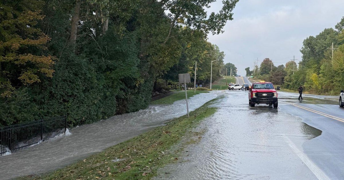
Well that was a pretty wild evening with torrential rain from showers and thunderstorms many spots picked up over a half an inch of rain in a matter of minutes (Stoughton tallied 1.22" with the deluge this evening) which of course led to street and parking lot flooding until the storm drains got an opportunity to catch up. Along with the heavy rain there were some strong windgusts...on top of our roof here at the station we gusted to 45mph and it's only three stories up. The front is working thru Western NE right now so there is still a threat for a few additional showers thru midnight.
As another trough digs into the Ohio Valley tomorrow, drier air out ahead of it will work into New England on a SW breeze shooting temps back up to around 80 for one last day...a great finish to the workweek with lots of sunshine. unfortunately, that fine weather won't be able to hang around over the weekend. The trough that is digging to our West will work East and get close enough to us to spin up numerous showers on Saturday...and a good chunk of the day looks wet. Interestingly, on Sunday the upper level storm will retrograde or migrate back to the west...this means improved conditions with the majority of the day dry but noticeably cooler with highs around 60.
The upper level storm and it's cold pool of air aloft will finally work over us early next week leading to chilly and unsettled conditions for Monday and Tuesday. It will leave behind beautiful Autumn weather for the second half of next week...lots of sunshine and seasonably cool air.