Gradual Return of Heat & Humidity
If it's not a trough affecting New England, it has been the zonal flow presenting fast moving, weak weather systems. Since this pattern made its mark in July, it has been the dominant weather pattern.
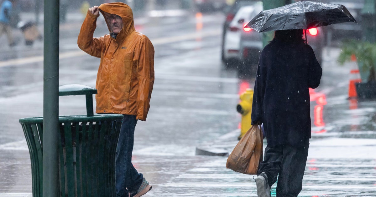
A surface low that developed off the coast of the Carolinas will sweep east of Nantucket later this evening. Due to its passage and proximity, rain, heavy at times, will affect Plymouth and Bristol Counties to Cape Cod to the Islands beginning late this afternoon. Some of these showers may creep as far north as Boston and the North Shore tonight between 8pm-12 midnight. The suburbs located north and west of Boston will enjoy brighter skies, high to mid-level clouds, and dry conditions throughout the day. Consequently, the warmest temperatures will be northwest of Boston where neighborhoods will flirt with 80F while the coastal areas will be hanging in the lower to middle 70s.
The low departs around 12 midnight tonight allowing for gradually clearing skies late tonight. Lows will be in the upper 50s where skies are clearer to the northwest to the middle 60s from Boston to Cape Cod/Islands.
Wednesday, the beginning of August, will include partly cloudy skies before a cold front appraoches from the northwest. This will induce scattered afternoon storms, miaily concentrated north and west of Boston. If you're vacationing along the Cape, you should be rain-free. ***Full "Sturgeon' Moon on Wednesday night***
Thursday will be partly cloudy with a slim chance of a pop-up storm due to an eroding front in the vicinity. However, it will be a mainly dry day with highs in the middle 80s...near 80F for the South Coast/Cape Cod/Islands.
Friday will be warmer and more humid. Along with partly cloudy skies, there will be a chance of a few isolated afternoon storms, mainly north and west of Boston. Highs will be near 90F...lower to middle 80s for Cape Cod/Islands.
This weekend will be a warm one! Highs will be in the 85-90F range for most areas on both days. A warm front will be heading northward on Saturday. The best dynamics for thunderstorms will be set-up for Western and Northern New England. There is only a slight chance of a late-day storm on Saturday for areas north and west of Boston. That chance will linger into Saturday night. Sunday looks dry as we will be located in the warm sector.
A cold front is expected to produce showers and stormson Monday.
~Melissa :)