Getting Closer...
We just strung two consecutive dry days together...can we make it three...no. Air will be squeezed between high pressure to our NE and low pressure to our SW over the next couple of days. This air will have increasing amounts of moisture and with significant lift late this week will lead to steady, if not heavy rain in spots.
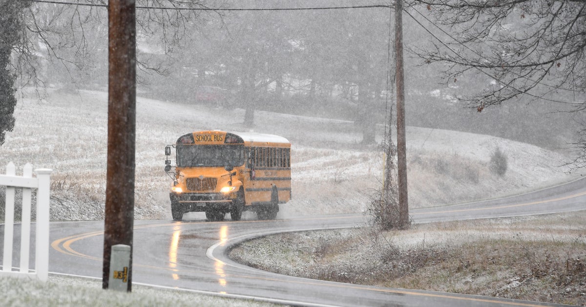
The atmosphere is pretty dry right now especially in the lower layers...so I'm not expecting significant precip through over the next 24 hours but overrunning generated lift will lead to some flurries or very light snow tonight and tomorrow morning and then rain showers for the rest of Thursday...certainly not a washout...but cool, damp, raw, wet...etc...
By Friday the heavier precip will be closing in...the best dynamics stay to our west and therefore so does the greatest rain amounts. But by afternoon a 50+kt low level jet will be advecting in warmth and moisture while providing lift to give us some heavier downpours which could lead to rain amounts in Eastern Mass close to one inch. That inch of rain with additional snowmelt will force the rivers and streams to rise again. But right now it appears that only minor flooding along them will occur...at worst some pockets of moderate flooding. Much bigger problems will be seen in Western NE especially in the Housatonic River Valley in Western Mass and Western CT.
The storm will pull away over the weekend but won't get too far away...meaning cylonic flow will keep some clouds around. Also, with upper level energy floating through from time to time, there could be a brief rain shower or two.
