Get Ready For Some Snow
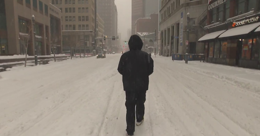
Some light snow fell overnight creating slick neighborhood streets, sidewalks, and parking lots. Please drive and walk carefully.
Check: Interactive Radar | Current Conditions | Weather Blogs
Most areas received anywhere from a light coating to around an inch or two. The flakes will taper off by 8 a.m. before the clouds erode and the sunshine returns. This afternoon will be bright and sunny with highs above freezing in the 35-to-40 range. Winds will be breezy from the west-northwest.
Thursday will be the 'calm' before the storm. It will be sunny with highs in the middle 20's.
A Nor'easter is looking likely on Friday through early Saturday.
A Winter Storm Watch will be in effect from late Thursday night through Saturday morning.
Get those shovels and snowblowers ready! Each model shows significant snowfall impacting southern New England, with the heart of the storm occurring from Friday evening through early Saturday morning.
The exact area that will receive a foot or more of snow is still up 'in-the-air', but it is most likely going to be anywhere from a line drawn between the North Shore and Worcester to as far south as the South Coast.
Yes, even Boston may see more than a foot of snow!
There will be a chance of a rain-snow mix at some point for the Outer Cape and Islands which will slightly lower those snowfall totals. This is shaping up to be the biggest snowstorm in more than 2 years - since January 2011!
The sunshine will gradually return on Saturday afternoon. Then, Sunday will live up to its name 'Sun'day. It will be sunny and milder in the upper 30's.
Early next week looks even milder as highs head into the middle 40's.
Continue to monitor and track the storm's timeline and snowfall forecast on cbsboston.com and also ask questions directly to our WBZ Weather Team by clicking on this link: cbsboston.com/weatherchat.
Melissa :)


