Full Court Press of Winter Ahead
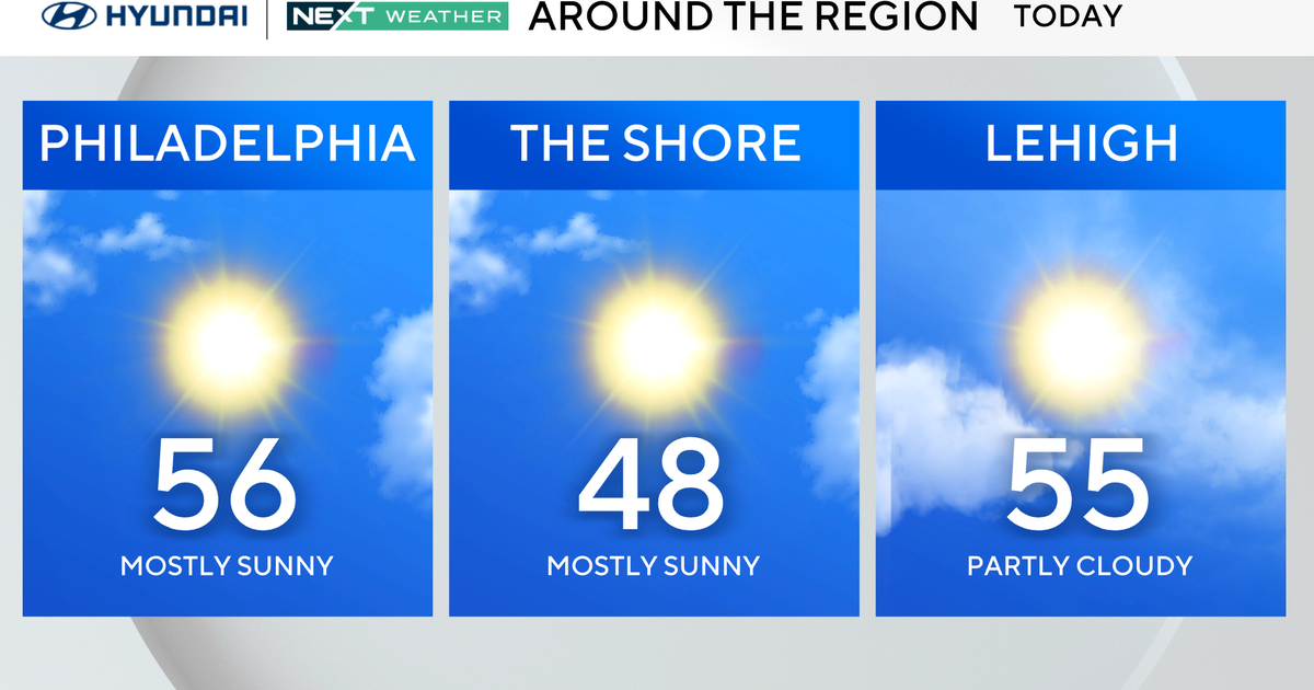
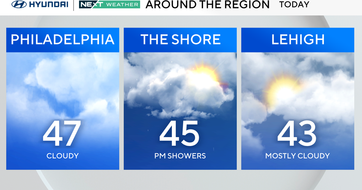
I am not really going to bother talking about the weather upcoming for next few days...simply because it is so boring. It's mainly cool and dry with a mix of sun and clouds...moving on! I am sure you are all aware by now.
What has me and I am sure all of you jazzed what lies ahead for this weekend and beyond! So let's get to it. Just like in a basketball game, suddenly this winter has gone on the offensive and is going into a full court press. You may not know it yet..but the weather is starting to line up for plenty of cold with the chance for a few snowstorms before the month is through.
Obviously, this far out in the game we are just having fun tossing the ball around...but the pressure will mount as these storms start to bear down.
High pressure is currently parked over Greenland. This is a very typical blocking pattern in a negative North Atlantic Oscillation. The Arctic Oscillation will remain negative straight through mid-January as well. These are all favorable signs for cold, troughs and storm formation across the northeast.
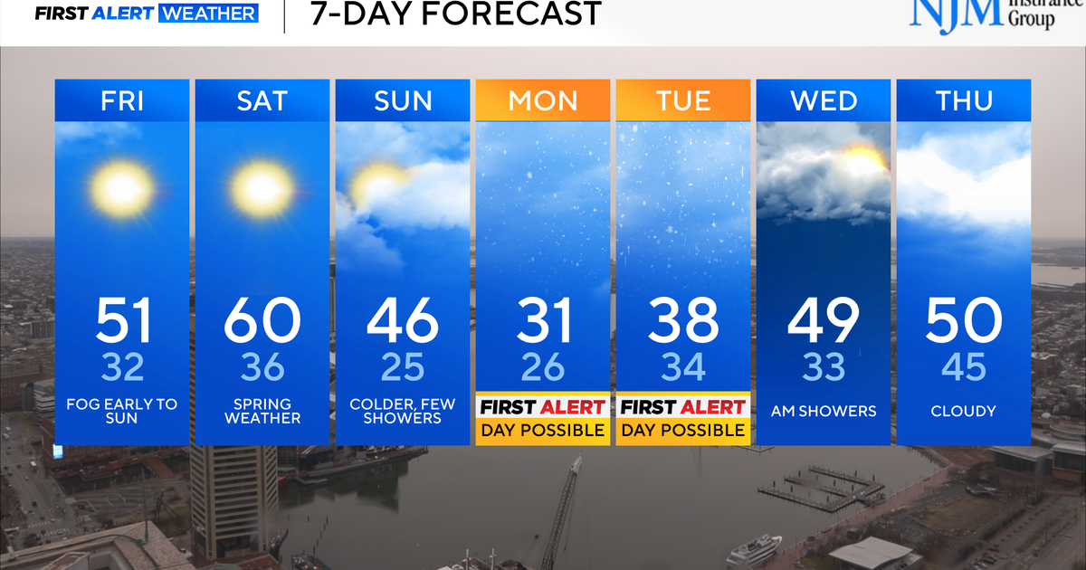
This high will gradually start to move westward this week towards Hudson Bay. This will push energy and cold down into the continental US and spill right into a deepening trough in the eastern US. This energy will combine with energy coming from the Southwest US along the subtropical Jetstream. When and Where these two merge is the big question. But all signs show a merging and deepening off the mid-Atlantic coast with another intensifying storm off the coast of New England in the late Friday-Saturday timeframe. This storm will gel south of us, then deepen east of us and possibly back into us before pulling away.
Of course this far out plenty of variables are still in play so anything can happen really. But it does appear we have a storm to deal with.. which will likely provide a plowable snow and strong winds at the coast again. I do not think this will be as powerful a storm as the last...but is still could come with a wallop depending on how and where it deepens! The potential for over 6" of snow is certainly there...but again...too much can happen between now and then to nail anything down now.
Once this storm leaves...colder air will continue to press down from Canada. Setting the table for the next storm. Again the combination of energy spilling in from the Northwest and linking up with energy from the Southwest US will be the origins of another possible storm in the January 12th-13th timeframe. This storm has the makings of being even stronger than the storm that will likely affect us this weekend. With cold arctic air charging south with an active polar jet, clashing in with warmer moist air supplied by the southern jet, this second storm will certainly have more moisture to play with as a low should track out of the Gulf of Mexico and then up the eastern seaboard.
Impossible to say at this point where that will track inside or east...but there will be so much cold in the pattern it is hard to see anything but snow..even if the low tracks over the Cape! So round 2 in the middle of next week has real potential as well. Behind this storm...guess what?...more cold where the coldest air of the season will likely settle in. ..just in time for the heart of winter! Best bet is to just focus on round 1...but I know you are curious so why not talk about it...that is what this blog is here for right?
Again..we are just tossing the ball around right now. A simple game of toss. Nothing but pure speculation at this point. But you and I know what time it is. The deck is stacked. It is just a matter if all the cards fall into place at just the right time. Nothing to do now but wait and enjoy the fair weather....and keep and eye on the not so distant future!
