Friday Forecast: 60 Degrees Possible
BOSTON (CBS) - Our mini February "heat wave" continues.
Obviously this does not come close to being an official heat wave by meteorological standards, but the "feels-like" index when you walk outdoors certainly conjures up thoughts of spring.
Many spots had already eclipsed the 50 degree mark by noon, just the second time this month and only the fourth time since the beginning of 2011.
Boston reached a high of 58 degrees by 3 p.m. Thursday. Some towns went even warmer: Millis, Marlboro, Northboro and Norton all hit 60 degrees.
The record for today was set in 1981, with temperatures at a balmy 61 degrees.
Read: Weather Blog | Current Conditions | Weather Map Center
We average about 8 days at 50 degrees or above in a typical January-February.
The state has a chance to be slightly warmer Friday.
WBZ NewsRadio 1030's Karen Twomey reports from Castle Island
Podcast
WARMEST DAY SINCE NOVEMBER?
The "X" factor tomorrow is cloud cover.
If there is too much of it, we will likely have a day similar to today in the mid 50's.
However, if we can manage several hours of sunshine, especially in the afternoon, upper 50's and even 60 degrees is not out of the question.
This would be the first time the thermometer has registered a 60 degree reading since last November, prior to Thanksgiving!
Watch Barry Burbank's forecast
THE WEEKEND
Unfortunately reality returns this weekend.
We will see a 20-to-30 degree temperature change between Friday and Saturday.
High temps will drop back to the 30's and strong winds will make it feel like the teens on Saturday.
SNOW
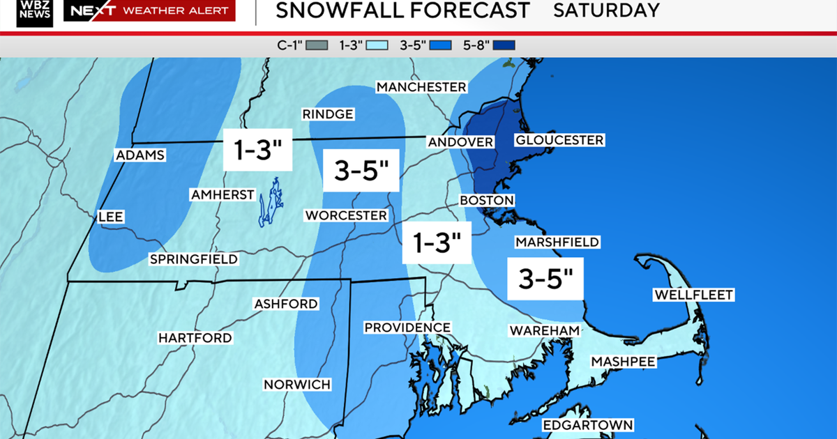
Finally, we are tracking a storm for late Sunday night and Monday which will likely feature a mix of rain and snow, perhaps a small snow accumulation north and west of Boston.
This would be our first measureable snow in about two weeks!


