Heavy Rain, Flood Watch Thursday Into Friday
BOSTON (CBS) - More rain is on the way, which is welcome news for areas of New England still in drought, although many of our rivers and streams are running high from all the wet weather recently.
This will result in the threat for flooding Thursday into Friday.
Flood Watch & Timing:
A flood watch goes into effect Thursday morning and lasts through Friday afternoon.
A widespread 1-to-2 inch rainfall event is forecast across southern New England. Thursday morning will be dry, but rain will arrive as early as midday, turning steadier and heavier through the afternoon.
Expect heavy downpours from mid-afternoon into the evening (even a few rumbles of thunder possible) which will impact your ride home Thursday.
Impacts:
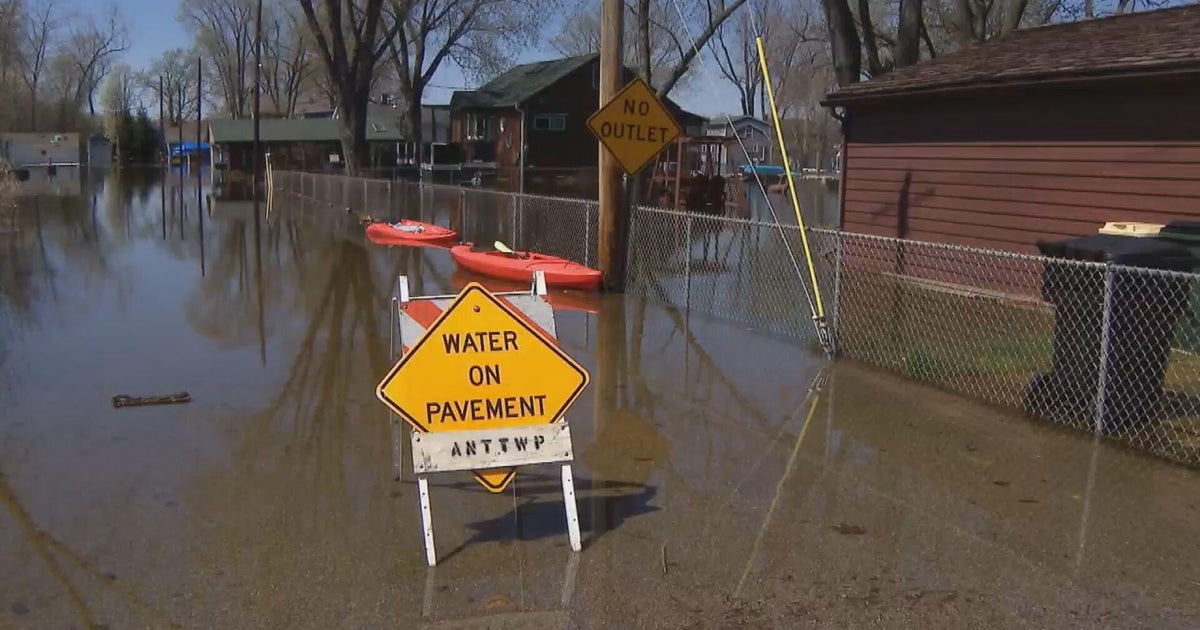
Ponding of water and big puddles will result from Thursday's rain, along with reduced visibility and the risk of hydroplaning.
In other words, plan on your evening commute taking longer than usual.
Poor drainage and urban flooding is likely and some rivers and streams may see some minor flooding, although it may take until Friday to reach flood stage.
Wind:
The wind will ramp up Thursday - the strongest gusts coinciding with the heaviest downpours (as the strong wind above the surface gets "mixed" down to the surface) during the afternoon and evening especially.
Southeast gusts could top out 45-55 mph which would result in pockets of isolated damage.
Looking Ahead:
I can't let this blog go by without mentioning the fact that a BIG time warm up is on the way for the beginning of next week.
Highs should top out around 70 degrees on Monday with a shot at record warmth Tuesday (someone could see 80!).
Are you looking forward to the warm up or enjoying our slow Spring transition?
Follow Danielle on Twitter @DanielleWBZ4
