Fine Mother's Day...Tracking Ocean Storm
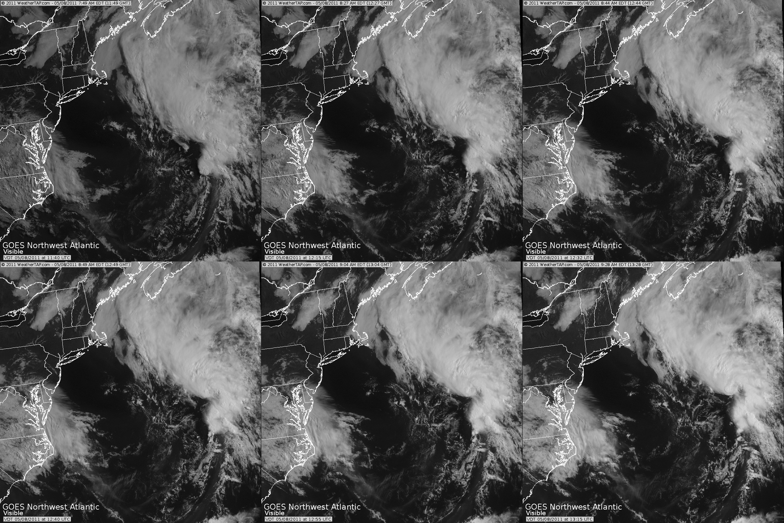
This is a great visible Satellite image from around 9 AM this morning. Marine layer cloud backed into the coast this AM with the cool onshore winds with spotty drizzle and fog. Clouds are eroding for partial sunshine inland...but clouds are holding firm at the immediate coast. This could be turning into quite a cloudy and cool day for SE MA. Temps will be stuck in the mid-upper 50's in the clouds and beaches. While further inland, it is a whole other story, bright brilliant sunshine with temps quickly warming into the 60's to near 70...gorgeous weather for all the Mom's!
You can see from the image below an ocean storm which is just in the beginning stages in becoming a stronger storm south of Nova Scotia. This will remain far enough off the coast of New England, so it won't have a big impact...but it certainly will help to keep it cooler, cloudy, and windy at the coast the next several days.
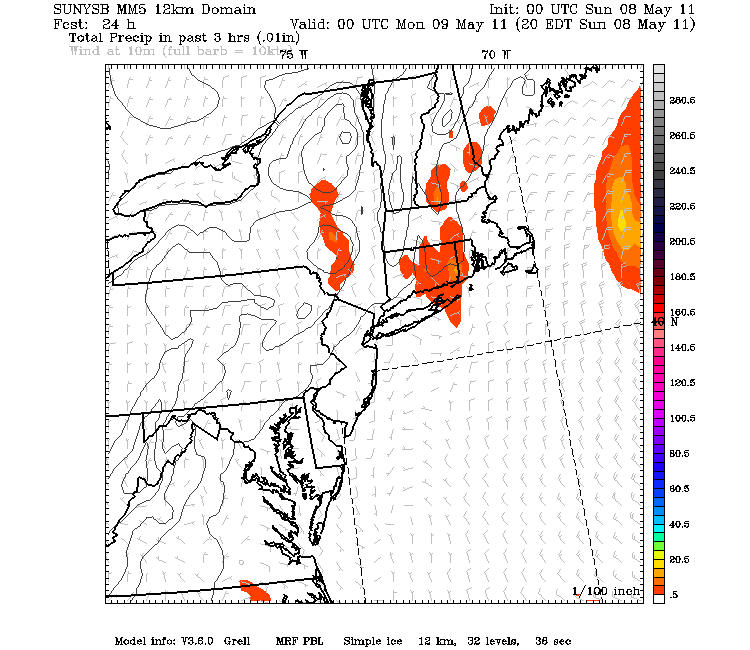
Just like yesterday, sun-filled morning skies will bubble with cumulus in the afternoon. NE winds will help to keep a cooler more stable airmass in place, plus there is no real energy to provide the lift like we saw yesterday afternoon. In other words, I do not expect the same kind of thunderstorm activity that we saw yesterday. Still there is just enough heat and surface convergence and cooler air aloft to form a few hit or miss showers inland away from the coast this afternoon...and maybe even and isolated storm is possible.
The deepening ocean storm will be nearly stationary south of Nova Scotia Monday. A Gale Watch has just been issued for the outer Cape & islands for the Monday-Tuesday time frame where NE winds could gust over 40 mph in combination with building rough seas upto to 10-15 feet off the coast. Monday will be a pretty nice day across most of the region but gusty NE winds will make it pretty chilly at the coast..with the potential for more low clouds sneaking in. Inland there will be more sun and another day nearing 70 in western New England.
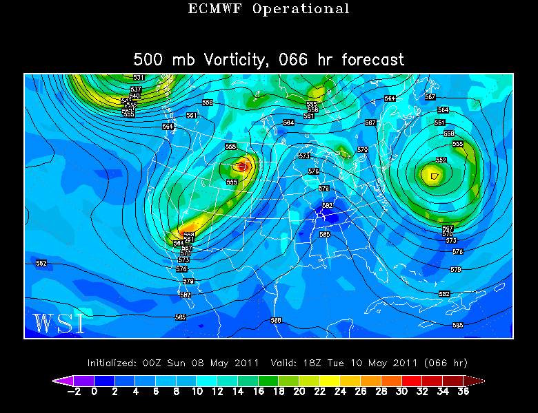
Cut off Low will retrograde back towards the coast on Tuesday with more clouds, wind, and the better potential for a few showers and drizzle. Tuesday looks like the worst of the bunch in terms of the cloudy cool raw damp conditions....even with the upper Low beginning to pull away. Pieces of energy will continue to spin into New England...so even with the low so far away...the potential for clouds lingering into Wednesday and cool onshore winds remain.
Just enough ridging bushes east to kick out the upper low and allow the sunshine to increase for the end of the week as temperatures begin to moderate back to near 70. Winds will likely remain onshore all week. The whole pattern is a slow moving pattern...so just as long as it takes to move the clouds...once the sun arrives...it should take just as long to move it out.
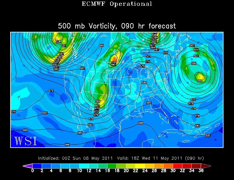
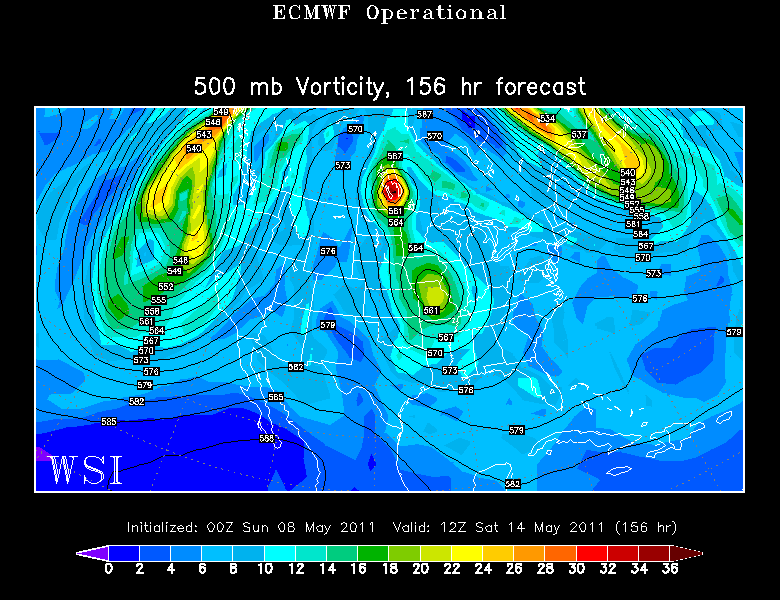
The low we talked about yesterday over the Great Lakes for next weekend is even further west today. This bodes well for holding onto the dry air for next weekend...with the whole thing riding south of us. Still too early for any definition this far out.
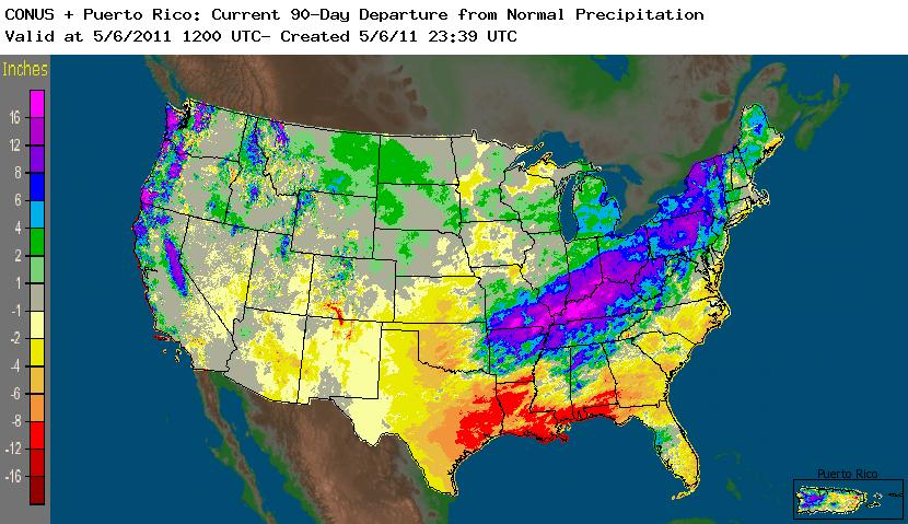
Looking ahead...I think it is pretty clear by now that this May is not going to warm up in a hurry. This whole year is completey different than last. This time last year we had already to full months of warmth...now we struggle to get a day to 70. Rainfall has been way above normal in the Ohio and Mississippi River valleys where near record flooding has been occurring. Some areas have seen over 20" in the past two months. It really is incredible and so sad. Extreme drough and Brushires in Texas, Record Tornado outbreaks, activity and damage. Now record Flooding for those living along these basins. The South is getting absolutely hammered! How much more can they take?
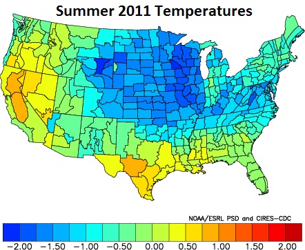
The rain will keep the soils wet which will play a role in keeping airmasses a bit cooler in combination with the lingering effects of la Nina. The map below is from NOAA. They are forecasting cooler than normal air in the midwest...with near normal temps here in New England. The CFS has similar look for the June-July- August period. The placement of the cool air concerns me in that it has the look of helping to trigger more severe weather down the road...especially here in New England. Everyone has had their turn...it makes you wonder when it is our time on the wheel?