Final Round Of Light Snow
Our last round of light snow will spiral around the western fringe of the massive low pressure center that's located well to our northeast. The onset of precipitation may include a rain/snow mix along the Cape/Islands before transitioning to snow. A general 1-3" of light snow will fall this evening thru Thursday morning. Skies will gradually brighten from northwest to southeast during the day Thursday.
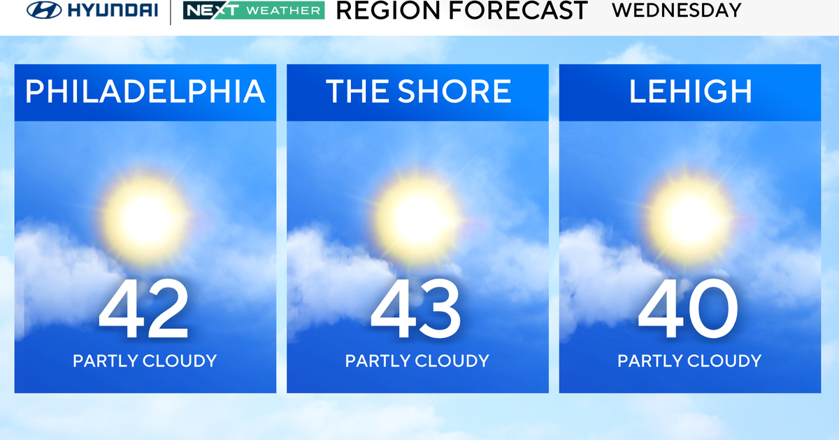
Christmas Eve Day will include partly cloudy skies and highs in the middle 30s.
Christmas Day will be partly cloudy with highs in the lower 30s. A low pressure center in the Deep South will continue to strengthen as it reaches the coast.
*Potential* Storm Late This Weekend...Each model depicts a different track this morning. The GFSx has been the most consistent the past few runs showing the storm staying off the coast. With this said, I still think this track would produce snow for Southeastern Massachusetts. The EURO model takes the center of the low directly up to the New Jersey coast before it starts to show the system moving to the northeast. This model would bring us a wintry mix initially and snow thru the day on Monday. The GEM shows the snowiest and stormiest scenario with a full-blown nor'easter. The track is still questionable, but the models are starting to show some consensus in terms of the timing of the system. They show the storm affecting us Sunday evening thru Monday.