February's 'Grand' Entrance
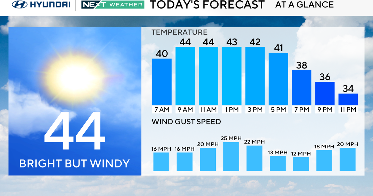
It's an uneventful end to the month of January. A few benign flurries and snow showers (mainly north and west) will lead the way to a brighter sky this afternoon. There will be more clouds to the north as the warm front is taking its time as it travels northward. Highs will be in the lower 40s north and west to the middle 40s in the city to the upper 40s for the Cape/Islands.
February is getting ready to make a 'grand' entrance as high temperatures make it into the lower and middle 50s! This warmth will be in conjunction with mostly cloudy skies and a few spot showers from ~10am through ~4pm. A cold front sweeps across New England on Wednesday evening which will begin the cooldown process as we head into the weekend.
Thursday will be partly cloudy to partly sunny with an upper level trough adding a chance of evening snow showers for the coast. Highs will be cooler in the lower 40s.
A surface high sets up shop and brings us a sunshiny Friday. However, even the sunshine won't have the 'strength' to carry temps above the upper 30s.
Superbowl Weekend will be quiet and cool. Saturday will be mostly sunny with highs in the middle 30s while Superbowl Sunday will be mostly sunny with highs in the upper 30s. Ways to stay warm on Superbowl Sunday...cheering on the Pats and eating some yummy comfort food! :)
The models' solutions diverge early next week. The EURO is offering up an uneventful Monday while showing a potential for an accumulating snow from Tuesday night through midday Wednesday. On the other hand, the GFSx is interpreting the model in a different way by introducing accumulating snowfall from Monday evening through Tuesday morning. So, it's quicker with the movement of this system. The GFSx has the 500H low, which the EURO also shows, developing in the Plains states over the weekend and weakening into an open wave. This would allow the jetstream to carry the weakening system towards our backyards more quickly. The EURO keeps the upper level, cut-off low meandering across the Great Lakes region through Tuesday morning before showing the system weakening into an open wave. This would bring the wintry precipitation our way about 24 hours later. So far this winter, the GFSx has proven to be more reliable so I am following that solution for now.
***The long-term forecast is for cooler, more trough-like pattern as we look ahead to mid-February. Take time to enjoy February's 'grand' entrance.
~Melissa :)
