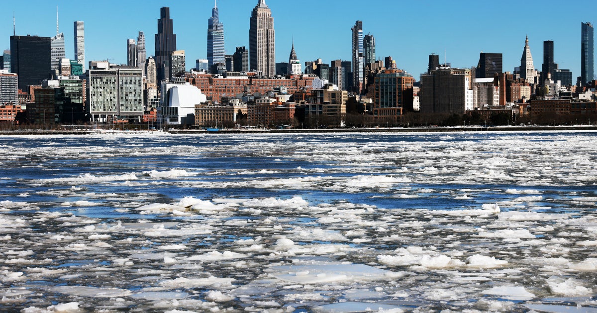
Extreme! Arctic Blast to Midweek Nor'easter
Nothing is boring about this pattern huh? This La Nina winter has delivered in a big way so far. We have seen multiple blizzards, snow in 48 states and a upcoming severe arctic outbreak which will be comparable to some of the coldest air we seen in six years! This La Nina has plenty of gas left in the tank. After coming off of one of the warmest years on record, thanks to el nino...this la Nina will certainly have it's effect on global temps with an overall cooling expected. This is the type of winter which just keeps on going and going. No sign of any warm up for the next 15 -20 days at least.
Canada currently has a bank of Arctic air which ready to unleash a can of whoopi on New England! It is settling in for the long haul with the coldest air of the season and likely for the winter ready to arrive by the end of the weekend. The air near Hudson Bay is -25 to -40 Below. This air will take a swipe at New England..but will not stick around for too long to cause any big problems.
Watch: Joe Joyce's Forecast
The newly fallen snow is adding to the chill this morning in the single digits and teens. 850 mb temps near -15C will help keep temps in the teens and lwr 20's today. We are tracking an arctic front currently in place ver the Great lakes and Canadian border. This will approach from the west tonight with increasing clouds and a chance of a few flurries by dawn. Once this front pushes off the coast tomorrow..the cold arctic air will begin to plunge into the region with the coldest air to be found Sunday Night-Early Tuesday. Steep lapse rates, low-level moisture, and lift with passing front along with NNE winds may allow snow showers to develop on the Outer Cape Sunday will be found over Cape Cod tomorrow. With colder air on the move Sunday and increased cloud cover...expect highs only in the mid teens. Skies will continue to clear by Sunday Night. This is where Canadian High pressure will direct the heart of the Arctic air right into the region with NNW winds.
This is air mass will mean business with 850mb temps dropping down to -20 to -24 C at 5,000 feet. Most areas will fall below zero Sunday Night excluding the Cape and the Island. Interior NW valleys will drop down to 15 to 20 below zero with diminishing wind. Most surrounding communities outside of Boston will drop to -5 to -15. Even downtown Boston may drop below zero early Monday morning...the first time in six years! Impressive cold. Plenty of Arctic sunshine Monday with Canadian High pressure directly over head. Temps will struggle to warm...mostly remaining in the single digits, Lwr teens at the coast. Brr.
Clouds will be on the increase Tuesday ahead of our next storm. Our computer models are still trying to get a grip on the track of this storm. A bundle of energy from NW Canada will dive into the plains and dig a trough across the eastern US. This trough will tap into and direct ample moisture out of the Gulf and up the coast and an intensifying major storm. The snowfall signature of a retreating Arctic High signals the potential for heavy snow as there will be a supply of cold air...but as it pulls away to the NE...it may also open the door for this storm to hug the coast and provide rain and wind for the metropolitan cities up the east coast...with heavy snow inland.
The exact timing, placement, amounts, and type are still all up in the air this far out and will continue to be fine tuned the closer to the even we get. The way it looks now, snow will be breaking out early Wednesday morning and quickly becoming heavy. There will likely be a snow/rain line to track with the low hugging the coast of New Jersey and then heading right up through southern New England. Strong winds will be found at the coast with the storm bombing with pressures down to 980 mb.
Where it does remain all snow...there is the potential for 1-2 feet of snow! It looks like this could be one of those epic snow storms for ski country for Northern and Western new England with more of a mix in the south of Snow/sleet/rain/snow.
Again, this will likely be a major storm but it's heaviest snowfall will likely be found from the Catskills to Berkshires to Green and Whites. But cold air could on stronger, create more snow and ice interior, with rain confined right to the coast. There could be concerns with Ice and Sleet from SNH to Worcester...but this far out...really what is the point? It is likely going to change several times before we finally nail it all down between now and then anyway.
A pattern of extremes and a fascinating week of weather to look forward too! Bundle up and enjoy!
