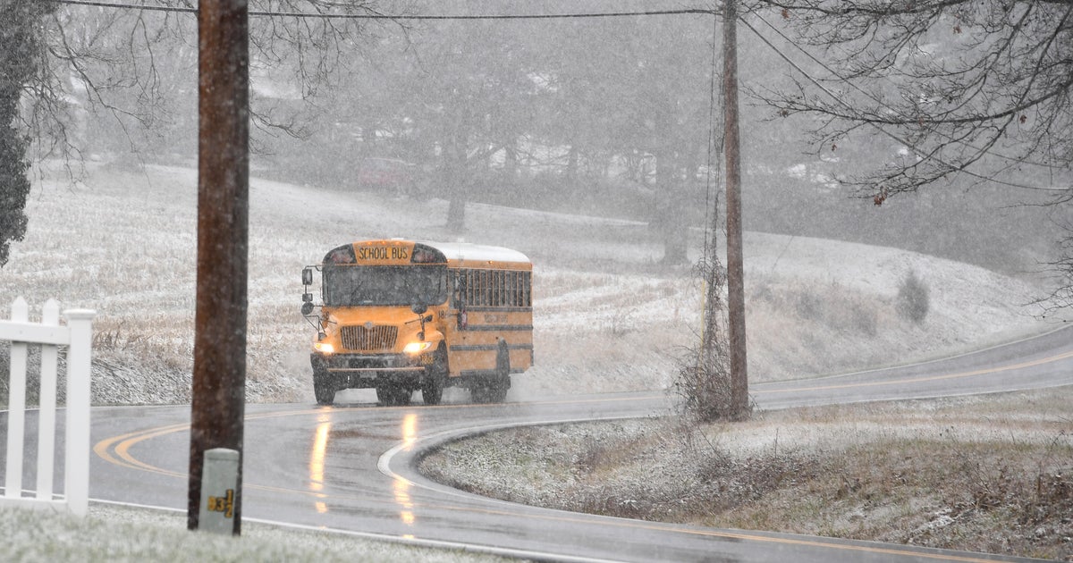
Evening Commute Snow Will Be A 'Nuisance'
BOSTON (CBS) - This winter may be remembered as the winter of the 1-to-3 inch snow storm. It's hard to even call it a "storm" really, I mean 1-to-3 inches for the native New Englander is more of a nuisance than a storm.
Check: Interactive Radar | Current Conditions | Weather Blogs
This "nuisance" began Monday afternoon.
If you were to look at the radar this morning you may think the snow had already begun. The air was so dry though, the majority of the snow got eaten up as it fell.
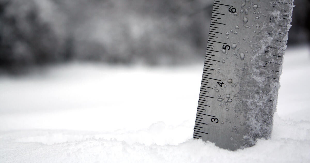
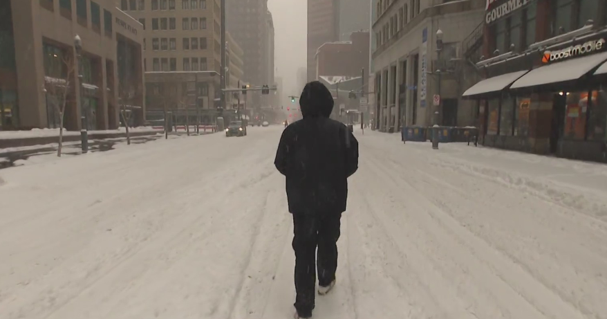
This is certainly not a blockbuster snow event by any means, instead just bad timing coinciding with the PM commute. As of 5pm there was anywhere from 0.5" to 1.5" across most of Southern New England with about 1-3" expected in total.
There will be a bit of a break with just some lighter snow and freezing drizzle for a time after 6pm before another batch of sleet, snow and freezing rain arrives after 7pm. Not expecting much more accumulation with this second batch in Southern New England as most of it will come as a mix. However north of Boston, from Southern New Hampshire up through the Mountains, snow will continue to fall through about midnight and 3-5" are likely.
This second wave of precipitation will likely keep roads a bit hazardous piling some ice on top of the fresh snow. Expect any untreated roads to be slippery, temperature will not rise above freezing for most of the area all night long.
The storm is long gone by Tuesday morning's commute and milder air will begin to filter in. Temperatures will near 40 on Tuesday afternoon and perhaps make a run at 60 on Wednesday!
You can follow Terry on Twitter at @TerryWBZ.
