End of the Thaw...
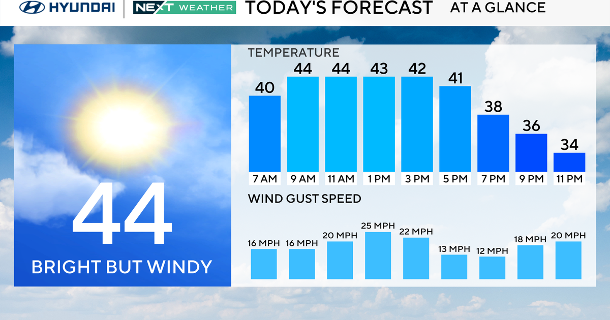
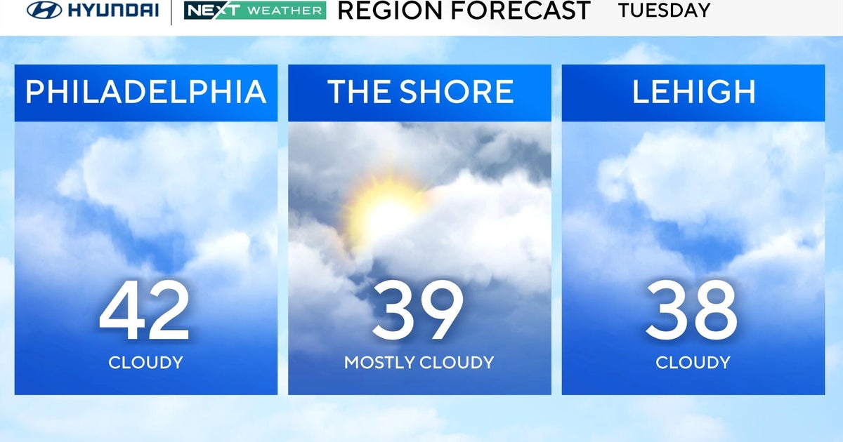
Today was under-achieving all morning with chilly and rain showers but by the afternoon the warm air finally worked north and now all are above 50 degrees except folks in Northern New England. That's also where the fog is still very dense, SW winds elsewhere have allowed fog to dissipate. A coldfront is closing in from the west and along there will be a solid band of showers...some downpours too. The rain will work in first thing tomorrow morning...so the commute will be a wet one but showers will shut off by mid-morning after the frontal passage. With the passage of the front, the wind will shift into the NW and gust. This will clear us out but it will also tap chilly air north of the border...temps will slide from early morning highs in the 50s to the 40s by the end of the day.
That cool air will be locked in for a couple of days thanks to high pressure but the high will also provide us with ample sunshine Thursday through midday Friday. Milder air will advect back into New England shooting temps back through the 40s close to 50 again for Friday afternoon and Saturday...sunshine will be sacrificed however and by Saturday another coldfront will be close enough to produce scattered showers throughout the day.
The front is expected to slip south of New England on Sunday and a shallow layer of cold air may sneak in behind it. With moisture riding up the coast there may be a bit of mixed precip late Sunday and early Monday especially for interior New England. We'll keep an eye on it.
