Election Day Forecast
Happy Election Day! It's very cold outside this morning as many cities and towns have fallen into the teens and 20's. City centers have also fallen into 'freezing' territory. An abundance of sunshine will not be able to help much in terms of high temps. Thermometers will only reach the lower and middle 40's this afternoon.
Check: Current Conditions | Weather Maps | Interactive Radar
The Nor'Easter moves up the East Coast tomorrow. It will reach Cape Cod and the Islands around midday on Wednesday in the form of rain. The leading edge of the precipitation will spread northward throughout the afternoon. Areas from 95 to points north and west will start as a snow/mix. These neighborhoods will have wet roadways. However, neighborhoods outside of 495 may see some slush on their patios, sidewalks, and front yards. The precipitation will switch to all rain by Thursday morning. Scattered rain will continue on Thursday, but the wind speeds will begin to relax.
Gallery: Nor'easter Forecast Maps
Winds will gust up to 40-60 mph for areas inside 495 from Wednesday evening through Thursday morning. 20-40 mph gusts can be expected farther inland during that time period. High Wind Watches have been posted from Wednesday morning through Wednesday night for areas near the coast.
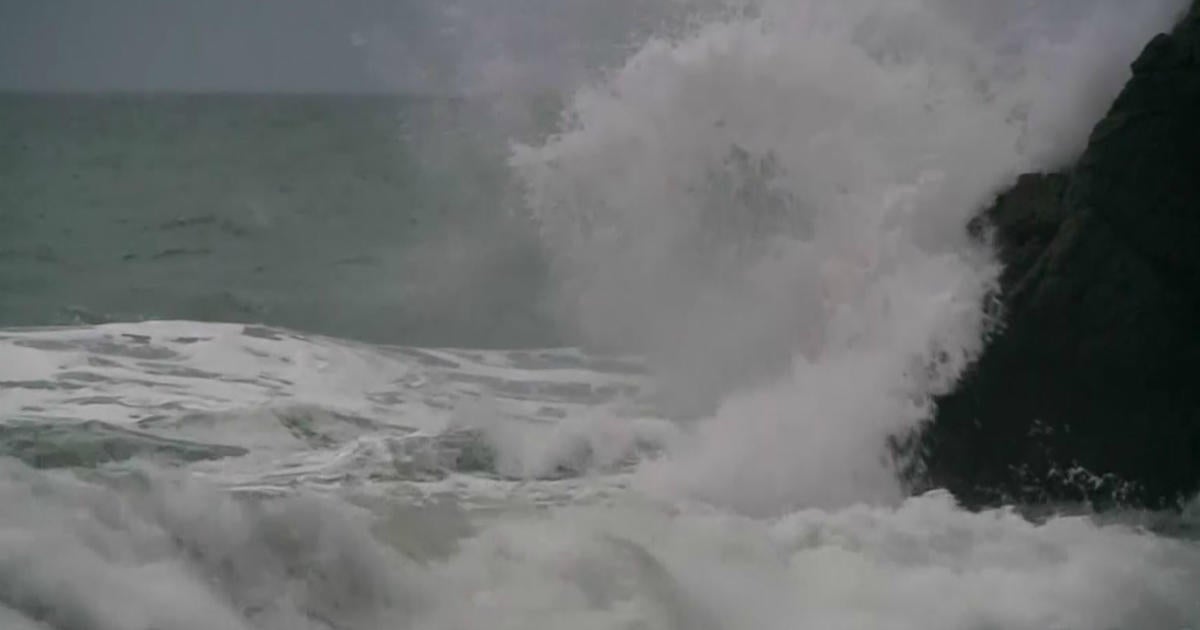
Additionally, high tides will be running astronomically low, but the high winds and seas that could reach 15-20 feet pose a threat for minor coastal flooding and beach erosion for East-facing beaches. The main concern will be the high tides occurring about 5 p.m. on Wednesday and 5 a.m. on Thursday.
The heaviest precipitation will be Wednesday evening and Wednesday night. Rainfall totals will be approximately 1-2 inches for the Cape/Islands, ~.50-1" for Boston, and less farther north and west since those areas will be seeing some mix/snow as well. In terms of where the snow will fall, the exact postiton of the vortex of the low. There is a possibility that some snowflakes will fall in some neighborhoods just north and west of Boston initially due to evaporational cooling. Otherwise, areas across north central Mass. and southwest NH could see a few inches of snow.
Stay tuned!
~Melissa :)


