December Chill
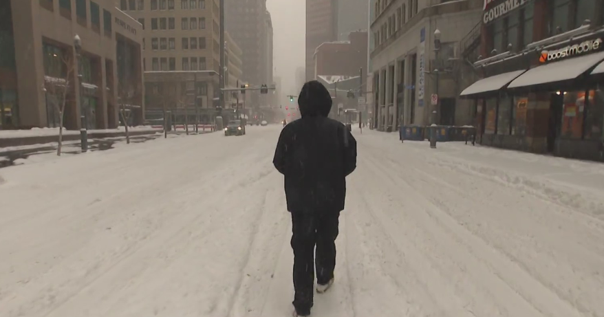
You will be feeling the 'December Chill' this weekend into the middle part of next week. Highs will only top off in the lower 40s today and eventually highs will be hovering in the upper 30s starting on Sunday. Then, models are showing high temperatures as low as the middle 30s by the middle of next week. Are you ready?!?! Also, a trough will continue to dig deeper and intensify into an upper level low as a jet streak dives from our northwest towards the southeast. This will be the focal point for surface lows to spiral around the trough/upper level low and retrograde into Northern New England. This weather trend will be persistent thru midweek. It is going to be tough to provide exact timing of the flurries and snow showers, but I'd expect to see some flurries on Saturday with a few snow showers from time to time thru next Thursday. The best chance of snow will be across Northern New England. Several inches of snow will fall in Northern Maine, Vermont, and New Hampshire. Skiers' delight! :)
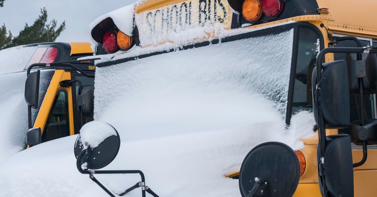
***Bundle up & stay warm! Don't forget to capture a special pic of your kids as they head off to school. Allow your creative juices to flow. Submit your pics to weather@wbztv.com, and we'll show one every morning around 6:15am for our BUS STOP FORECAST!
Have a wonderful weekend! See you Monday!
Melissa :)


