Crushed...
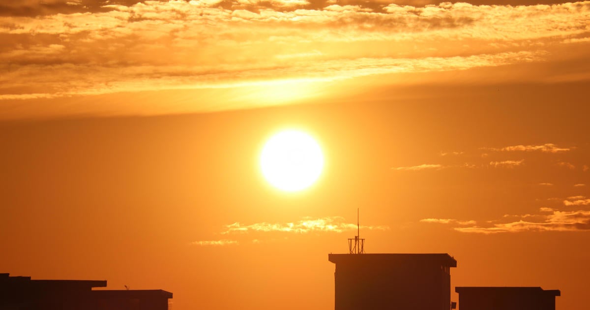
Very simply the record in Boston today was crushed...it was 72 set back in 1948...it's now 83! This summer-like stretch is going out with a bang...easily the hottest day of the streak. Late tonight a coldfront will slide through with less hot temps for tomorrow. Along this front there is a solid strip of clouds and a few isolated showers. This front will be gone by mid-morning taking with it the clouds so we will see increasing sunshine and temps will still be way above normal in the 70-75 degree range. A secondary coldfront will pass through tomorrow evening and that will cool us off even more for Saturday. Temps will also have a tough time recovering on Saturday due to increasing clouds (lack of sun). Then we get to Saturday night and Sunday...we desperately need some rain...everything is parched and the brushfire threat is sky high...there is even a Fire Weather Watch for tomorrow! Well we have a chance for some much needed rain Saturday night and Sunday as a moisture loaded low pressure system with ample upper-level support will slide to the East Coast. Here is the problem with getting rain into New England...we are coming off a very dry stretch so the air preceding this system will be bone dry and all of the upper level support is destined to slide too far south of us. At this time I can't see more than showers and the steady and heavier rain will likely stay south of New England. Keep your fingers crossed for a more northerly trend...we really need a soaking!


