Countdown 'Til The End
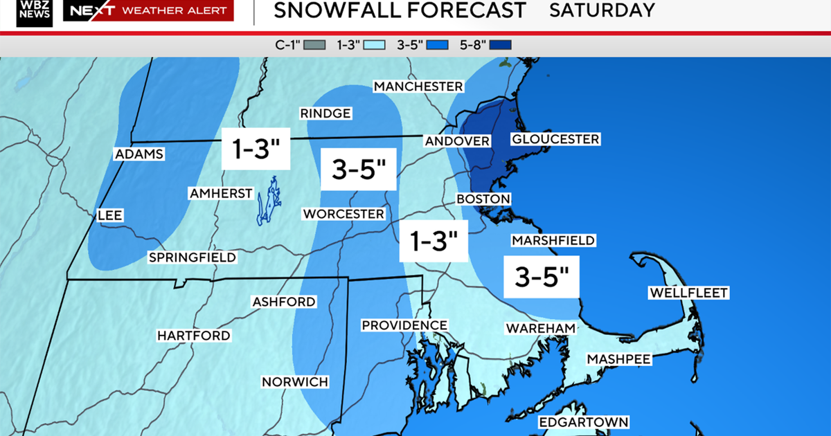
BOSTON (CBS) - The storm will slowly wind down this afternoon as the storm departs to our east. A few more bursts of snow this morning will add an additional swatch of 2-to-4 inches for most of the area, a coating to 2 inches for areas across Cape Cod and the Islands as well as areas farther north including southern New Hampshire.
Check: Interactive Radar | Current Conditions | Weather Blogs
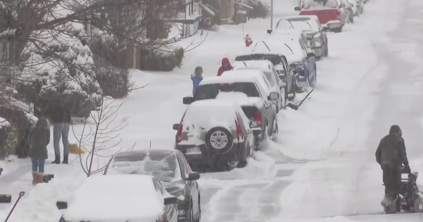
Roads are snowy, slushy and wet so please prepare for a longer morning commute. You may need that extra cup of coffee to get you going this morning!
Read: Ask The Weather Team
By this evening skies will begin to clear out and winds will be dying down. Consequently, the evening commute won't be as tough as this morning.
High temperatures will be between 35-40. North-northeast winds will gust up to 40 mph this morning before gradually calming down later today.
COASTAL CONCERNS:
A Coastal Flood Warning is in place through 9 p.m. This morning's high tide will create moderate to major coastal flooding for some east and northeast facing beaches. Major beach erosion is 'top of mind' as well. There could be some minor coastal flooding for this evening's high tide around 8:30 p.m.
This late-winter weekend will be sunshiny and milder.
Saturday will be in the lower to middle 40s, while Sunday we will be flirting with 50.
Daylight Saving Time begins 2 a.m. on Sunday. Remember to 'spring' those clocks FORWARD one hour! Sunset will be at 6:45 p.m. on Sunday.
Early next week will remain on the 'mild side' (50's). A stronger cold front will bring rain to the area on Tuesday before temperatures drop back into the 40's.
Happy FRRRiday!
~Melissa :)

