Cooler Pattern to Provide Chances of Snow
Clear skies tonight will give you another chance to view the amazing Super Moon, before clouds to increase overnight.
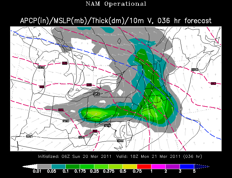
A weak area of low pressure will be tracking through Northern New England tomorrow. Precipitation will push into western new England by mid morning and spread to the coast by 11 AM to Noon. With cold air in place to start, any precip is likely going to start as snow before changing to rain in the afternoon as the boundary layer warms with southerly winds. It is very difficult for snow to accumulate much this time of year. It has to come down heavy to add up. So I am not expecting much more than a coating to and inch for most locations before the change over....very little if any accumulation at the coast. Higher elevations..just like in early winter will have the best chance of accumulating 1-3" of snow in places like the Berkshires, Worcester Hills, S. VT and the Monadnock Region.
The low will deepen as it pulls off the coast. This with building high pressure from Canada will create gusty Northerly winds for Tuesday with dry and seasonal air in the 40's. The low we will have to watch is currently bring flooding rains to California. This will come over the Rockies and again track towards the Great Lakes., Unlike it's Monday predecessor, upper level winds will help to push this low south and will eventually track south of New England.
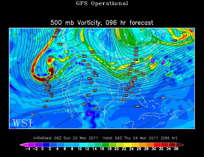
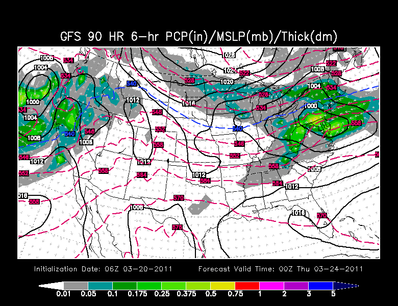
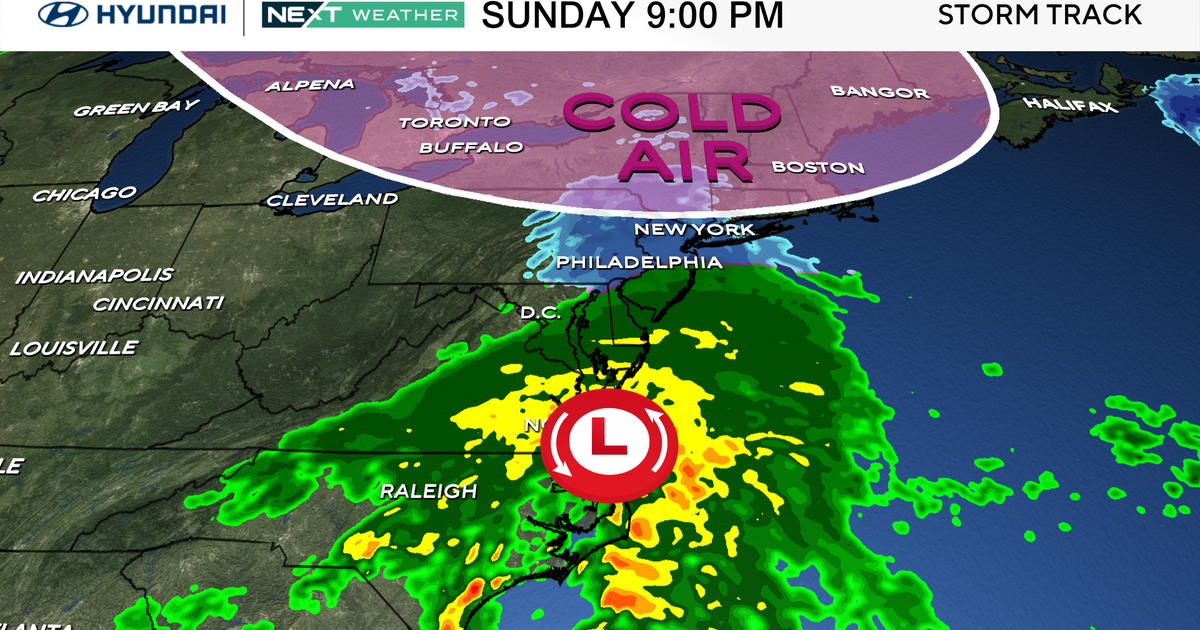
As was mentioned yesterday, I had a dry forecast for the midweek, but there were developing concerns for this disturbance to track a bit farther north and it has. Low pressure will move through the mid-Atlantic states and strengthen once off the coast. The northern fringe of this low will provide the chance of accumulating snow across the region in the late Wednesday-Thursday time frame. Temps should be cold enough to keep mostly snow for most, except along the immediate coast where there will be some boundary layer mixing issues with rain.
There are plenty of things to keep an eye on here...track, lift, amount of moisture and thermal profile...Right now I would say there is the potential for a general 2-4" of snow...with locally higher amounts in the NW hills and lighter amounts at the coast...but this can all change. An inverted trough will likely hang back as the low departs and be a trigger to keep periodic snow showers going into the afternoon.
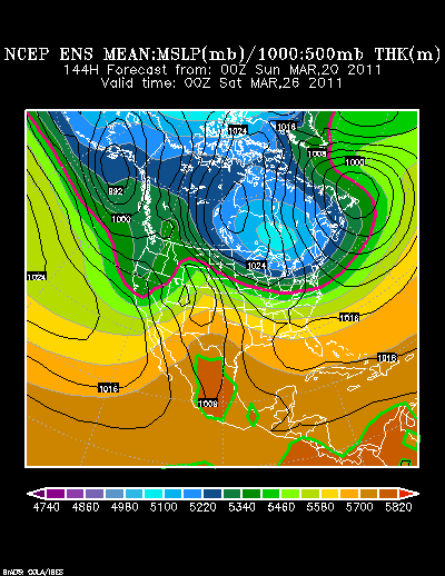
Canadian high pressure will follow in behind this departing snow and guarantee below normal temps in the 30's to continue through the weekend of the 26-27 with fair weather and diminishing winds.
The pattern of lows tracking south of New England will continue to end out the month of march...with temps still running a tad cool to near normal. Lows will mostly be tracking south, but another chance of light snow is in play for Sunday, March 27th, with another more potent low coming out of the Gulf on the 28th...likely to remain south. Plenty of weather to watch. Though Spring has sprung, we are definitely turning more wintry to end out the Month.
