Cool Raw Saturday Improves Later...Milder Sunday Gets Wet Later
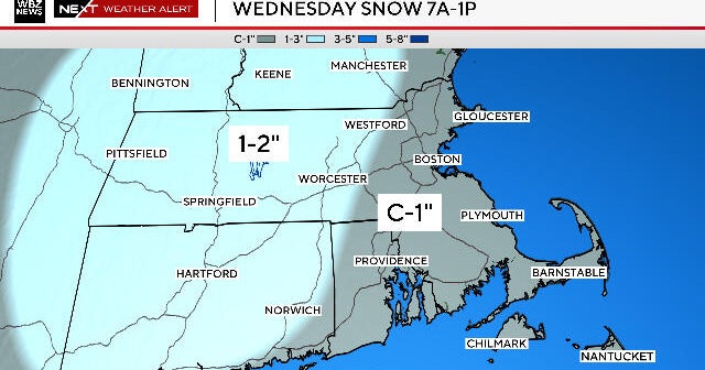
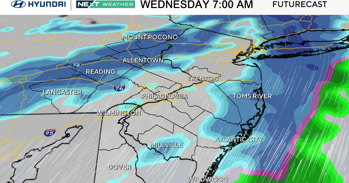
The main batch of precipitation is pushing through during the morning hours. Temperatures are in the 30's with a mix of light rain and snow falling. North of the Pike...too much dry air in the low levels....a quiet cool cloudy morning. Areas which have cooled enough for snow include the Worcester hills including town like Monson, Amherst, Pelham, Brimfield, Windsor Locks , Willimantic, Granby, CT with a coating of snow on the grassy surfaces. We have even changed to snow in the Blackstone Valley and Pawtucket RI. It is a wet snow. Accumulations will be meager and confined to hilly terrain. Eastern MA should remain mostly light rain but can't completely rule out a few wet flakes mixing in before 10 AM as the Light snow and rain pulls off the coast for a somewhat drier afternoon.
Check Current Conditions
The wave of low pressure helping to supply the lift will track south thru the mid-Atlantic and off the coast this afternoon. Building high pressure in Canada will begin to push south. The combo of the high to the north and a low to our south will mean a steady light east wind today which will lock in the clouds through the afternoon. Northern New England will be closer to the high. Clouds will begin to break for some increasing PM sun. SNE should hold onto the clouds for much of the day...but look for late day breaks of sun to develop around 5 PM. Temps will be chilly today in the 30's...and climb to near 40-45 by this afternoon as we dry out.
Clearing skies with light and variable winds tonight with lows dropping down to near freezing as high pressure slides south. Patchy frost may form in the suburbs and valleys. With high pressure south of New England Sunday, warmer SSW winds will develop. Light SE right at the coast may keep it a bit cooler at the beaches. Inland will be warmer as morning sunshine will fade behind increasing afternoon clouds. Highs Sunday will be in the upper 40's and Lwr 50's
A vigorous piece of energy will slide in from the Great lakes and approach us as a "Clipper" Low for Sunday Night. Clouds will increase Sunday afternoon...and likely thicken enough for late day showers to develop. While most of the precipitation will fall in the form of showers with a warmer boundary layer and southerly winds...This low will again track south of New England and drag in some colder air by Sunday night to mix with wet snow across far NNE...this cold air will be directed south into SNE by early Monday morning where showers may mix with wet snow just outside Boston around dawn on Monday. A few lingering low clouds or a shower at the coast through Monday morning. Clouds will give way to partly sunny skies by afternoon with breezy NW winds. Temps will remain in the 40's near 50.
Surface high pressure follows in for Tuesday with and upper level ridge on the east coast. Some warmer air will begin to shift back in on Tuesday with SW winds with highs climbing into the 50's near 60. This brief warm up will quickly be cut off at the pass with another front which pushes through Tuesday night and early Wednesday. NW winds draining in from Canada with building high pressure will prevent any warm up for the end of the week. Plenty of sunshine should be expected from Tuesday through Saturday this coming week.
The problem looking at the long range is a developing upper level low over the Canadian Maritimes heading into the weekend. This upper level low in Canada will become a dominant weather feature spinning into New England pieces of energy and reinforcing shots of colder air which will do it best to keep a trough in place across the Northeast with near normal or slightly above normal temps from time to time. All the while much of the midwest will continue to sizzle in some unseasonal warmth. Looks like we will miss out on this on this go around. Still we do have a chance to warm up a bit by the end of next weekend...only to cool again with another frontal passage. So it goes for spring in New England.
